
South East England Regional A-Z Road Atlas
by Geographers' A-Z Map Company
This A-Z map of South East England is a full colour regional road atlas featuring 46 pages of continuous road mapping extending from Banbury and Felixstowe to the south coast, and from Oxford and Southampton to Margate and Clacton-on-Sea in the east. Road map detail is shown at a clear 2.5 miles to 1 inch scale (1.58 km to 1 cm) and includes the following features:*Motorways open with full junction detail, motorways under construction and proposed, service areas, primary routes and des...
It's a Mad, Mad, Mad, Mad Trip: on the Road of the Longest Two-Week Family Road Trip in History
by Kevin James Shay
It's a Mad, Mad, Mad, Mad Trip chronicles the adventures of a single Dad taking his two kids on a 6,950-mile odyssey across the USA and back during his two-week vacation. Along the way, they set a record for the longest family road trip in a roughly two-week span, certified by RecordSetter, a competitor of Guinness World Records. And they did it in their trusty 2001 Honda CRV with more than 165,000 miles. They rode roller coasters and water slides, tried to locate some Hollywood celebrities, me...
This A-Z map of Chichester, Bognor Regis, Littlehampton and Arundel is a full colour street atlas featuring 42 pages of mapping which extends to include:*Goodwood House*Slindon *Angmering *Angmering-on-Sea *Rustington *Middleton-on-Sea *Felpham *Pagham*Bosham*Fishbourne There is separate coverage of East Wittering, West Wittering and Selsey. Postcode districts, one-way streets and safety camera locations with their m...
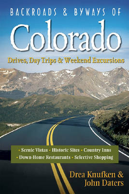
Backroads & Byways of Colorado (Backroads & Byways, #0)
by John Daters and Drea Knufken
Mile by mile, Colorado residents Knufken and Daters guide your trip through Colorado's 12 most enchanting byways, over the sky-grappling pinnacles of the Rockies, down the sandstone valleys of the Western Slope, and through windswept prairies. Sidebars and traveler's tips provide expert insight into the state's true must-sees.
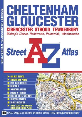
This A-Z map of Cheltenham and Gloucester is a full colour street atlas featuring 51 pages of street mapping which extends to include:*Tewkesbury*Winchcombe*Bishop's Cleeve*Quedgeley*Painswick (inset)*Stonehouse*Stroud*Nailsworth*Cirencester In addition, there are large scale maps of Cheltenham town centre and Gloucester city centre. Postcode districts, one-way streets and safety camera locations with their maximum speed are also featured on the mapping. The index s...
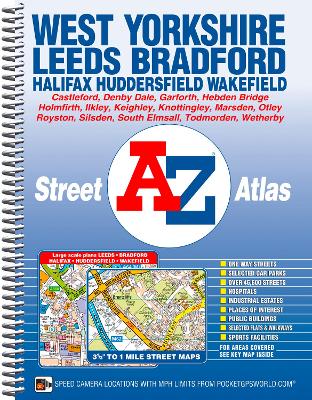
This A-Z map of West Yorkshire is a full colour, spiral bound street atlas featuring 172 pages of continuous mapping covering:*Leeds*Bradford*Halifax*Huddersfield*Wakefield*Dewsbury*Castleford*Ilkley*Wetherby*Knottingley*Holmfirth*Todmorton*Hebden Bridge There are large scale city and town centre maps of Leeds, Bradford, Halifax, Huddersfield and Wakefield. Postcode districts, one-way streets, safety camera locations with their maximum speed limit are featured on the mapping....
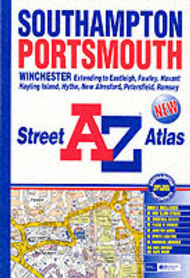
This atlas of Southampton, Portsmouth, Eastleigh, Havant, Fareham, Gosport and Waterlooville contains 190 pages of coloured street mapping that extends to include: *Bishop's Waltham, Cadnam, Calshot, Chandler's Ford, Clanfield, Cowplain, Cosham, Denmead, Emsworth, Fawley, Hayling Island, Horndean, Hythe, Lee-on-the-Solent, Marchwood, Portchester, Rownhams, Southbourne, Southsea, Stubbington, Romsey, Totton and Wickham.*also included are large scale city centre maps of Southampton and P...

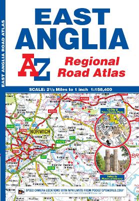
This A-Z map of East Anglia is a full colour regional road atlas featuring 39 pages of continuous road mapping that covers an area extending to:*Grantham*Sleaford*Boston*King's Lynn*Cromer*Great Yarmouth*Felixstowe*Clacton-on-Sea*Colchester*Chelmsford*Harlow*Hemel Hempstead*Leighton Buzzard*Stamford This East Anglia Road Atlas is shown at a clear 2.5 miles to 1 inch scale (1.58 km to 1 cm) and includes the following features:*Motorways open with full junction detail, motorways under co...
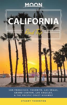
Colourful cable cars, sunny beaches, seaside havens, and thundering waterfalls: Buckle up for the best of the Golden State with Moon California Road Trip. Inside you'll find:*Flexible Itineraries: Drive the entire "Best of the West" loop, mix and match destinations for shorter road trips, or follow strategic itineraries for spending time in San Francisco, Yosemite, Las Vegas, the Grand Canyon, Los Angeles, and smaller towns along the Pacific Coast Highway*Eat, Sleep, Stop and Explore: Experience...
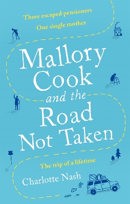
'I was enthralled . . . Nash's skilled storytelling will keep you turning pages until the very end' FLEUR MACDONALD 'Fans of The Unlikely Pilgrimage of Harold Fry and The Best Exotic Marigold Hotel will enjoy this tale of friendship, family and the road' The New Daily ______________________________One single mother. Three escaped pensioners. An unforgettable road trip.In their tiny, pale green cottage under the trees, Mallory Cook and her five-year-old son, Harry, are a little family unit who we...
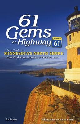
Discover the North Shore you haven’t seen. Highway 61, from Duluth, Minnesota, to the Canadian border, is peppered with tourist hotspots that Minnesotans love. But even the most devout North Shore traveler doesn’t know Lake Superior like William and Kathryn Mayo do. These explorers and residents of the region outline the best sites that you may not know about in this revised and updated edition of the popular guide to the best sites and experiences along one of the state’s most scenic roads. Th...
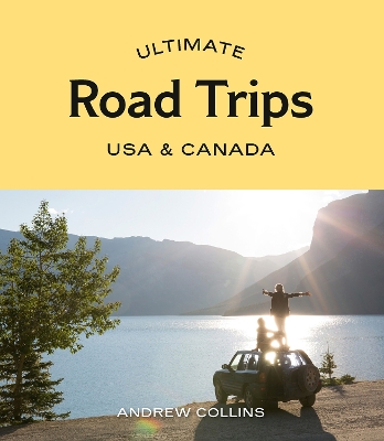
Ultimate Road Trips USA & Canada provides detailed itineraries for 32 amazing driving routes and adventures, from enthralling national parks to charming small towns. Including epic journeys like California’s Highway 1, the Canadian Rockies, coastal New England, Hawaii and Alaska, each chapter features route maps and colour photos. This guide also has descriptions of all the must-see highlights including short hikes, family-friendly attractions and world-class museums, and the best places to eat...
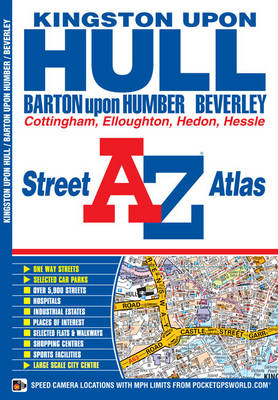
This A-Z map of Kingston upon Hull features 56 street map pages extending to:*Beverley*Woodmansey*Wawne*Coniston*Sproatley*Preston*Hedon*Hessle*Barton-upon-Humber*Barrow-upon-Humber*Goxhill*North Ferriby*Elloughton*South Cave*Swanland*Skidby Also included are inset maps of North Cave, Walkington, New Holland and Thorngumbald and a large scale map of Kingston upon Hull. Postcode districts, one-way streets and safety camera locations with maximum speeds are featured on the maps...

This A-Z map of Torbay is a full colour street atlas and for the first time, features a places of interest guide. This publication has 34 pages of street mapping, which extends to cover:*Brixham PaigntonTorquayKingskerswellNewton AbbotBovey TraceyTeignmouthDawlishAshburtonBuckfastleighTotnesKingsbridgeSalcombeDartmouth In addition, there are insets of: Bishopsteignton, Ipplepen, Stoke Gabriel and a large scale town centre map of Dartmouth. Postcode districts, one-wa...
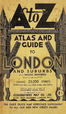
As a facsimile reproduction of the A to Z London Street Atlas, circa 1938/39, this publication shows street mapping of London as it was before the Second World War bombing and the redevelopments that followed and may be of assistance in tracing family history for that period. The coverage extends from central London to Edgware, Whetstone, Palmers Green, Edmonton, Walthamstow, Snaresbrook, Seven Kings, Barking, Silvertown, Plumstead, Kidbrooke, Bellingham, South Sydenham, Croydon, Strea...
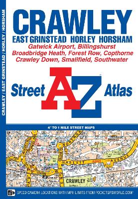
This A-Z map of Crawley is a full colour street atlas featuring 34 pages of street mapping to include:*East Grinstead*Forest Row*Horley*London Gatwick Airport*Horsham*Southwater*Billingshurst Postcode districts, one-way streets, safety camera locations with their maximum speed limit and park and ride sites are featured on the mapping. The index section lists streets, selected flats, walkways and places of interest, place, area and station names, hospitals and hospices covered...
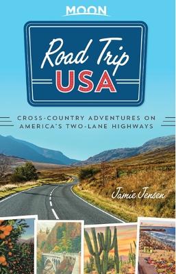
The Road Awaits! Criss-cross the USA on America's classic two-lane motorways with Road Trip USA!Inside you'll find: A flexible network of route combinations, colour-coded and extensively cross-referenced to allow for hundreds of possible itineraries.Mile-by-mile highlights celebrating the best of Americana, including roadside curiosities, parks, diners and moreLocal history that reveals the unique personalities of small towns and big cities across the US.Vintage snapshots, full-colour photos and...