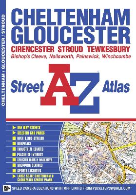
This A-Z map of Cheltenham and Gloucester is a full colour street atlas featuring 51 pages of street mapping which extends to include:
*Tewkesbury
*Winchcombe
*Bishop's Cleeve
*Quedgeley
*Painswick (inset)
*Stonehouse
*Stroud
*Nailsworth
*CirencesterIn addition, there are large scale maps of Cheltenham town centre and Gloucester city centre.
Postcode districts, one-way streets and safety camera locations with their maximum speed are also featured on the mapping.
The index section lists streets, selected flats, walkways and places of interest, place, area and station names, hospitals and hospices covered by this atlas.
- ISBN13 9781843488156
- Publish Date 14 September 2011
- Publish Status Out of Print
- Out of Print 15 March 2021
- Publish Country GB
- Publisher HarperCollins Publishers
- Imprint Geographers' A-Z Map Co Ltd
- Edition New Fifth edition
- Format Paperback
- Pages 76
- Language English
- URL http://collins.co.uk