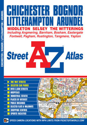
This A-Z map of Chichester, Bognor Regis, Littlehampton and Arundel is a full colour street atlas featuring 42 pages of mapping which extends to include:
*Goodwood House
*Slindon*Angmering
*Angmering-on-Sea
*Rustington
*Middleton-on-Sea
*Felpham
*Pagham
*Bosham
*FishbourneThere is separate coverage of East Wittering, West Wittering and Selsey.
Postcode districts, one-way streets and safety camera locations with their maximum speed limit are featured on the street mapping.
The index section lists streets, selected flats, walkways and places of interest, place, area and station names, hospitals and hospices covered by this atlas.
- ISBN10 1843487608
- ISBN13 9781843487609
- Publish Date 10 April 2011
- Publish Status Out of Print
- Out of Print 10 January 2014
- Publish Country GB
- Publisher HarperCollins Publishers
- Imprint Geographers' A-Z Map Co Ltd
- Format Paperback
- Pages 60
- Language English