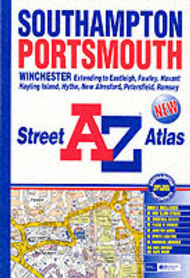
This atlas of Southampton, Portsmouth, Eastleigh, Havant, Fareham, Gosport and Waterlooville contains 190 pages of coloured street mapping that extends to include:
*Bishop's Waltham, Cadnam, Calshot, Chandler's Ford, Clanfield, Cowplain, Cosham, Denmead, Emsworth, Fawley, Hayling Island, Horndean, Hythe, Lee-on-the-Solent, Marchwood, Portchester, Rownhams, Southbourne, Southsea, Stubbington, Romsey, Totton and Wickham.
*also included are large scale city centre maps of Southampton and Portsmouth.Postcode districts and one-way streets are featured on the mapping.
The index section lists streets, selected flats, walkways and places of interest, place, area and station names. There is a separate list of hospitals and hospices covered by this atlas.
- ISBN10 0850396654
- ISBN13 9780850396652
- Publish Date 27 January 2001
- Publish Status Out of Print
- Out of Print 13 March 2008
- Publish Country GB
- Publisher HarperCollins Publishers
- Imprint Geographers' A-Z Map Co Ltd
- Format Paperback
- Pages 192
- Language English