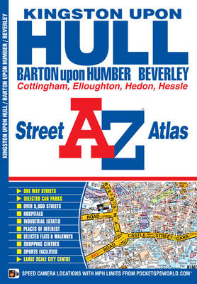
This A-Z map of Kingston upon Hull features 56 street map pages extending to:
*Beverley
*Woodmansey
*Wawne
*Coniston
*Sproatley
*Preston
*Hedon
*Hessle
*Barton-upon-Humber
*Barrow-upon-Humber
*Goxhill
*North Ferriby
*Elloughton
*South Cave
*Swanland
*SkidbyAlso included are inset maps of North Cave, Walkington, New Holland and Thorngumbald and a large scale map of Kingston upon Hull.
Postcode districts, one-way streets and safety camera locations with maximum speeds are featured on the maps.
The index section lists streets, selected flats, walkways and places of interest, place, area and station names, hospitals and hospices covered by this map.
- ISBN10 1843487888
- ISBN13 9781843487883
- Publish Date 8 May 2011
- Publish Status Out of Print
- Out of Print 2 December 2015
- Publish Country GB
- Publisher HarperCollins Publishers
- Imprint Geographers' A-Z Map Co Ltd
- Edition 3rd edition
- Format Paperback
- Pages 84
- Language English