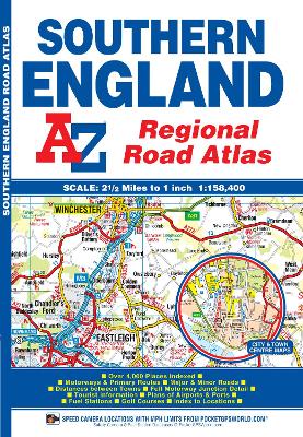
This A-Z map of Southern England is a full colour regional road atlas featuring 39 pages of continuous road mapping that covers an area extending to:
*Cardiff
*Newport
*Bristol
*Swindon
*Reading
*Slough
*Guildford
*Littlehampton
*Portsmouth
*Isle of Wight
*Bournemouth
*Weymouth
*Sidmouth
*Taunton
*Weston-Super-MareThis Southern England Road Atlas is shown at a clear 2.5 miles to 1 inch scale (1.58 km to 1 cm) and includes the following features:
*Motorways open with full junction detail, motorways under construction and proposed, service areas, primary routes and destinations, A & B roads, selected minor roads, gradients 1:5 and steeper, tolls, mileages, county boundaries, spot heights and hill shading
*Selected safety camera locations with their maximum speed limits
*Selected fuel stations
*National Park boundaries
*Selected places of interest, tourist information centres and golf coursesAlso included are 15 city, town, airport or port plans for:
*Bath
*Bournemouth
*Bristol
*Cardiff
*Guildford
*Portsmouth
*Reading
*Salisbury
*Southampton
*Swindon
*Taunton
*Winchester
*Windsor
*London Heathrow Airport
*Poole PortThe index section lists cities, towns, villages, hamlets and locations covered by this atlas.
- ISBN13 9781843487975
- Publish Date 29 September 2016
- Publish Status Active
- Publish Country GB
- Publisher HarperCollins Publishers
- Imprint Geographers' A-Z Map Co Ltd
- Edition 12th Revised edition
- Format Paperback
- Pages 60
- Language English
- URL http://collins.co.uk