Day Skipper
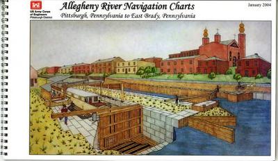
Allegheny River Navigation Charts, Pittsburgh, Pennsylvania to East Brady, Pennsylvania (Pittsburgh District)
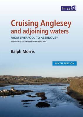
Ralph Morris's guide to the island of Anglesey and coast from Liverpool to Pwllheli was first published over 20 years ago and has always been closely associated with the North West Venturers Yacht Club based in Beaumaris. This fully updated new edition is presented in the same format as previous ones but now uses full colour charts and photographs.* Coverage has been extended to include Porthmadog* Google Earth aerial images have been produced for every anchorage* The Tidal information has been...
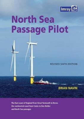
The author's well-established guide to the East Coast of England, from Great Yarmouth to Dover and the corresponding coasts between Calais and Den Helder, has been updated for this revised 6th edition. Information on the extensive new wind farms in the Thames Estuary and off the coast of Belgium and the Netherlands has been included, along with details of changed traffic separation schemes off the continental coast and updated contact details for ports and services. North Sea Passage Pilot pro...
This clear and accessible introduction to coastal navigation outlines most of the techniques of piloting that are still fundamental to safe navigation even with modern electronic aids. Step-by-step, the reader is guided from simple to more complex piloting solutions. In addition to dead-reckoning techniques, the author covers tides and currents and explains how to use LORAN C and GPS. There are numerous illustrations throughout the text and practice problems at the end of each chapter. Key Adva...
The Cruising Companion to East Coast Rivers (Cruising Guides)
by Janet Harber
As well as the "how to get there" information offered in traditional pilotage guides, this cruising companion covers "what shall we do when we get there". This edition covers rivers, ports and harbours from Southwold to the Swale. It includes tidal height and stream information, distance tables, a foreign language glossary, and marina and mooring details. Shore information, local heritage and facilities, things to do and see are also included.
South East England Regional A-Z Road Atlas
by Geographers' A-Z Map Company
This A-Z map of South East England is a full colour regional road atlas featuring 46 pages of continuous road mapping extending from Banbury and Felixstowe to the south coast, and from Oxford and Southampton to Margate and Clacton-on-Sea in the east. Road map detail is shown at a clear 2.5 miles to 1 inch scale (1.58 km to 1 cm) and includes the following features:*Motorways open with full junction detail, motorways under construction and proposed, service areas, primary routes and des...
North Devon Tide Timetable (Holidaymaker Publications Tide Timetables)

