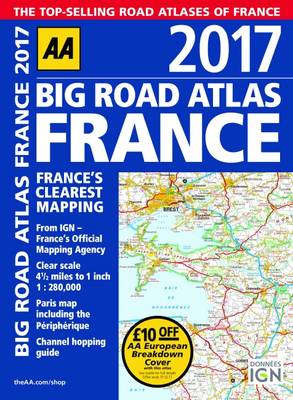
Fully revised and updated for 2017, this specialist A3 road atlas designed for the British motorist in France includes 21 city / town plans. There is also a channel hopping guide including channel tunnel terminal plans and port plans.Coverage includes road mapping for Corsica and a central city and regional plan of Paris, plus the atlas legend is in English, French, Spanish, Italian, German and Dutch.
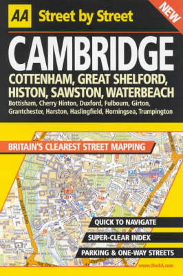
New format editions in the AA's series of street atlases in a handy, glovebox size. The maps clearly show AA Service Centres, recommended restaurants, hotels, one-way streets, and car parks. Features a clever use of colour to ensure they can be read under street lighting
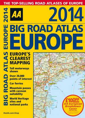
Fully revised and updated for 2014, this specialist A3 road atlas designed for the British motorist in Europe provides multiscale mapping of 46 countries. The atlas includes information on road distances, car ferries, national parks, towns and other places of interest. Plus, toll-free motorways, mountain passes with caravan suitability and World Heritage sites and national parks.
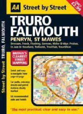
"Street by Street Truro, Falmouth Midi" has been fully updated with a stylish new cover design, in a handy glovebox size. Quick to navigate and easy-to-use, the maps clearly show AA recommended restaurants, pubs, hotels, one-way streets and car parks. Featuring a clever use of colour to ensure it can be read under street lighting, and National Grid referencing, "Street by Street Truro, Falmouth Midi" is all you need to keep you on the move.
The UK's best-selling annually updated camping guide, fully revised and updated for 2013. Includes over 900 campsites which have been inspected and rated by the AA's professional inspectors.
2023 Philip's Big Road Atlas Britain and Ireland (Philip's Road Atlases)
Philip's is No. 1 in the UK for clear maps and brings you the latest large format Big Road Atlas Britain and Ireland 2023 with fully updated maps from the Philip's digital database. 'Good balance between detail and clarity with excellent town maps' What Car? * Main scale of fully updated maps: 3 miles to 1 inch = 1:200,000* Practical 'more to view per page' A3 format* Smart motorways and electric cars explained* Great for planning and driving long journeys or short hops* Philip's: Britain's...
New features:A fifteen-page comprehensive and focused CXC Study Areas sectionAn eight-page Practice Exercises section, giving guidance on how to access information in the atlas, enabling students to improve their map skills and become independent learners.Emphasis on Caribbean conservation issues and the effectes of human activity on the climateThree CXC Examination Practice MapsCartography that has been extensively tested for readablility and suitability for secondary school studentsUpdated sta...
Ordnance Survey West Essex Street Atlas (Ordnance Survey/ Philip's Street Atlases)
Using monochrome Ordnance Survey cartography, this street atlas provides detailed coverage of West Essex at a scale of three-and-a-half inches to one mile, indicating roads, streets and lanes, and giving information on places of major significance. Street-name and town/village indexes are included.
The Routledge Atlas of Russian History (Routledge Historical Atlases)
by Martin Gilbert
The complex and often turbulent history of Russia over the course of 2000 years is brought to life in a series of 169 maps. It covers not simply the wars and expansion of Russia but also a wealth of less conspicuous details of its history from famine and anarchism to the growth of naval strength and the strengths of the river systems. From 800 BC to the fall of the Soviet Union, this indispensable guide to Russian history covers:* war and conflict: from the triumph of the Goths between 200 and 4...
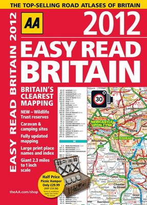
This A4 format atlas provides giant scale mapping, at 2.3 miles to 1 inch, and type throughout making it very easy to use. Each page has been titled with its geographical location so you can turn to the page you need more easily. Static speed camera locations with speed limits are pinpointed. Wide minor roads, National Trust, English and World Heritage sites, crematorium and other hard-to-find places are also shown. There is also a full-colour admin map showing all the latest unitary authority a...
Michelin Western Canada Regional Road Atlas (Michelin Regional Road Atlas Western Canada)
This title presents instant access to thousands of facts and statistics about the planet we live on, including information on the physical world, its peoples, their religions, politics and celebrations.
Flying safely in aircraft implies the use of navigation instruments. Among them, the magnetic compass is still a first choice for orientation and it is compulsory in all aircraft. This book examines in detail how the science of geomagnetism is able to promote correct use of the magnetic compass for navigation.
Atlas of American History (Facts on File Library of American History)
by Gary B. Nash
This full-color atlas spans the entire breadth of American history, from precolonial times to the present day. Vivid photographs, illustrations, and maps combine with graphs, charts, and boxed features to produce a lively, accessible reference. A perfect companion to ""Atlas of American Military History"" (see page 25), this beautifully illustrated atlas contains complete, up-to-date coverage of the cultural, historical, political, and social history of America. Beginning with the earliest settl...

![Cover of The State of the World Atlas [Ff]](https://images.bookhype.com/covers/c1/e2/91577274-9c15-44cb-a5cf-082fa40c2e1c/9781780261355-201a94dbf214d61617ebf0.jpg)
