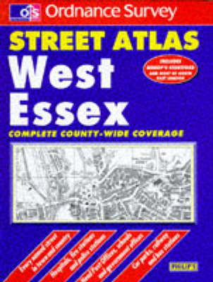
Using monochrome Ordnance Survey cartography, this street atlas provides detailed coverage of West Essex at a scale of three-and-a-half inches to one mile, indicating roads, streets and lanes, and giving information on places of major significance. Street-name and town/village indexes are included.
- ISBN10 0540058491
- ISBN13 9780540058495
- Publish Date 27 June 1994
- Publish Status Out of Print
- Out of Print 11 November 2011
- Publish Country GB
- Publisher Octopus Publishing Group
- Imprint Philip's OS Publications
- Edition 2nd Revised edition
- Format Hardcover
- Pages 240
- Language English
