Ordnance Survey/ Philip's Street Atlases
1 total work
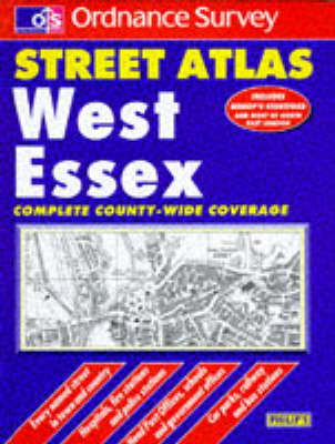
Ordnance Survey West Essex Street Atlas
Published 27 June 1994
Using monochrome Ordnance Survey cartography, this street atlas provides detailed coverage of West Essex at a scale of three-and-a-half inches to one mile, indicating roads, streets and lanes, and giving information on places of major significance. Street-name and town/village indexes are included.
