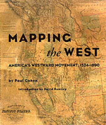
"Mapping the West: America's Westward Movement 1524-1890," a stunning collection of the finest maps ever made of the American West, chronicles the cartographic history of the western United States from 1524 to 1890. The book begins with a look at the European powers' (Spain, France, England) efforts to comprehend their far-flung colonies, then directs our attention toward U.S. Government and military maps made by such notables as Lewis and Clark, Robert E. Lee, and C.T. Beauregard. Also included are maps by American Indians, maps that highlight the epicenter of the California gold rush, and maps that delineate the proposed...Read more
"Mapping the West: America's Westward Movement 1524-1890," a stunning collection of the finest maps ever made of the American West, chronicles the cartographic history of the western United States from 1524 to 1890. The book begins with a look at the European powers' (Spain, France, England) efforts to comprehend their far-flung colonies, then directs our attention toward U.S. Government and military maps made by such notables as Lewis and Clark, Robert E. Lee, and C.T. Beauregard. Also included are maps by American Indians, maps that highlight the epicenter of the California gold rush, and maps that delineate the proposed and final courses of the transcontinental railroad, to mention only a few of the areas herein discussed.
The sixty-five maps shown come from collections throughout the world. Leading private collectors of maps of the American West, whose holdings have never been published, have put their collections at the disposal of this study. Many maps are here shown for the first time, most for the first time in color. Filled with fascinating historical anecdote and detailed scholarship, "Mapping the West" is a work that will be highly prized by map lovers and history buffs alike. It is a sumptuous feast of glorious full-color reproductions of maps by the most extraordinary cartographers this country has known.
The sixty-five maps shown come from collections throughout the world. Leading private collectors of maps of the American West, whose holdings have never been published, have put their collections at the disposal of this study. Many maps are here shown for the first time, most for the first time in color. Filled with fascinating historical anecdote and detailed scholarship, "Mapping the West" is a work that will be highly prized by map lovers and history buffs alike. It is a sumptuous feast of glorious full-color reproductions of maps by the most extraordinary cartographers this country has known.
- ISBN10 0847824926
- ISBN13 9780847824922
- Publish Date 23 November 2002
- Publish Status Out of Stock
- Out of Print 27 August 2024
- Publish Country US
- Imprint Rizzoli International Publications
- Format Hardcover
- Pages 208
- Language English