After the enormous international success of The Phantom Atlas and The Golden Atlas, Edward Brooke-Hitching's stunning new book unveils some of the most beautiful maps and charts ever created during mankind's quest to map the skies above us. This richly illustrated treasury showcases the finest examples of celestial cartography - a glorious genre of map-making often overlooked by modern map books - as well as medieval manuscripts, masterpiece paintings, ancient star catalogues, antique instrum...
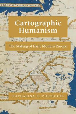
What is "Europe," and when did it come to be? In the Renaissance, the term "Europe" circulated widely. But as Katharina N. Piechocki argues in this compelling book, the continent itself was only in the making in the fifteenth and sixteenth centuries. Cartographic Humanism sheds new light on how humanists negotiated and defined Europe's boundaries at a momentous shift in the continent's formation: when a new imagining of Europe was driven by the rise of cartography. As Piechocki shows, this tool...
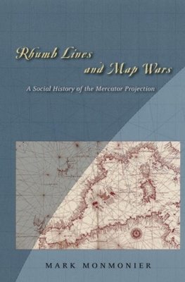
In Rhumb Lines and Map Wars, Mark Monmonier offers an insightful, richly illustrated account of the controversies surrounding Flemish cartographer Gerard Mercator's legacy. He takes us back to 1569, when Mercator announced a clever method of portraying the earth on a flat surface, creating the first projection to take into account the earth's roundness. As Monmonier shows, mariners benefited most from Mercator's projection, which allowed for easy navigation of the high seas with rhumb lines-clea...
This biography of the legendary mistress of King Louis XV of France offers insights into the life of one of the most enchanting, powerful and feared women to grace the world's stage.
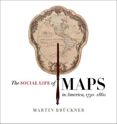
In the age of MapQuest and GPS, we take cartographic literacy for granted. We should not; the ability to find meaning in maps is the fruit of a long process of exposure and instruction. A ""carto-coded"" America - a nation in which maps are pervasive and meaningful - had to be created. The Social Life of Maps tracks American cartography's spectacular rise to its unprecedented cultural influence. Between 1750 and 1860, maps did more than communicate geographic information and political pretensi...
Fra Mauro's Mappa Mundi and Fifteenth-century Venice (Terrarum Orbis, #8)
by Angelo Cattaneo
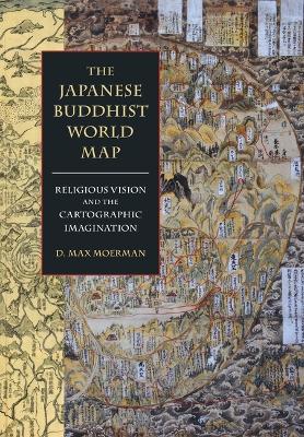
From the fourteenth through the nineteenth centuries Japanese monks created hundreds of maps to construct and locate their place in a Buddhist world. This expansively illustrated volume is the first to explore the largely unknown archive of Japanese Buddhist world maps and analyze their production, reproduction, and reception. In examining these fascinating sources of visual and material culture, author D. Max Moerman argues for an alternative history of Japanese Buddhism—one that compels us to...
Government Spending and Income Distribution in Latin America
Caught between declining revenues and increasing demands for social spending, the countries of Latin America have faced serious fiscal imbalances in the 1980s and 1990s. While macroeconomic and efficiency considerations have guided most attempts to control these deficits, this book looks at how public resources are distributed. It identifies the distributional impact of several key vehicles for resource transfers, including tax systems, public health care, education, pension funds, price control...
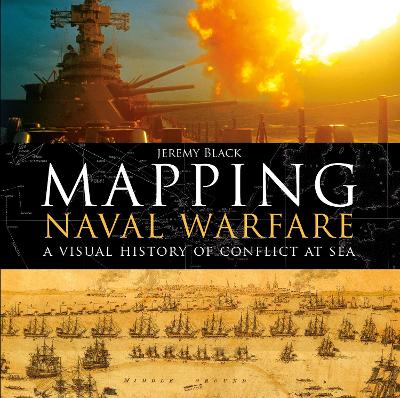
Naval operations and warfare were, and remain, a key element for mapping. Maps were vital for commanders in drawing up plans of attack, and their detail and usefulness have increased over the centuries as the science of mapping has developed. This beautiful book examines stunning original maps from a series of key conflicts from the Spanish Armada, the American Wars of Independence, and the Napoleonic wars to twentieth century conflicts from the First World War to Vietnam, and explains how the...
Progress Report of the Hydrometric Survey of Manitoba for the Climatic Years 1918-19 [microform]
by Charles H Attwood
Report of the British Columbia Hydrographic Survey for the Calendar Year 1915 [microform]
Ordnance Survey (House of Commons Papers, 2007-08 268) (HC, Session 2007-08, 268)
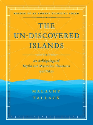
Gathered in this book are over twenty islands that have decidedly human origins, whether they are the products of imagination, deception or simply human error. They are phantoms, fakes and legends: an archipelago of ex-isles and forgotten lands. From the well-known myths of Atlantis to the more obscure legends of Thule and Antilla, from the islands of pure fiction to others whose existence are still in question, Malachy has created an atlas of fairytale and wonder.
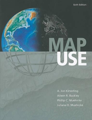
Map Use (Map Use, #8)
by Jon Kimerling, Phillip C. Muehrcke, Juliana O. Muehrcke, and Alison Buckley
Map Use: Reading, Analysis, Interpretation, seventh edition, is a comprehensive, foundational textbook designed for the college curriculum. Now updated with a new section on map interpretation, Map Use provides students with the knowledge and skills to read and understand maps, and offers professional cartographers a thorough reference resource. Nearly 600 full-color maps, photographs, and graphs illustrate the concepts behind communicating with maps, while an extensive glossary and resource DV...
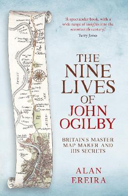
Four hundred years ago, every barrister had to dance because dancing put them in harmony with the universe. John Ogilby's first job, in 1612, was to teach them. By the 1670s, he was Charles II's Royal Cosmographer, creating beautiful measured drawings that placed roads on maps for the first time. During the intervening years, Ogilby had travelled through fire and plague, war and shipwreck; had been an impresario in Dublin, a poet in London, a soldier and sea captain, as well as a secret agent, p...
Sometime Later Becomes Never Do it Now (Inspirational Journal, Diary, Notebook)
by Journal Coloring Book, Gratitude Journal, and Happiness Life
The book compiles the main ideas and methodologies that have been proposed and tested within these last fifteen years in the field of Digital Soil Mapping (DSM). Begining with current experiences of soil information system developments in various regions of the world, this volume presents states of the art of different topics covered by DSM: Conception and handling of soil databases, sampling methods, new soil spatial covariates, Quantitative spatial modelling, Quality assessment and representat...
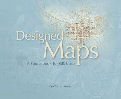
Designed Maps is a graphics-intensive presentation of published maps, providing more than 70 cartographic examples that GIS users can adapt for their own needs. Each chapter characterizes a common design decision and includes a demonstration map annotated with specific information needed to reproduce the design such as text fonts; sizes and styles; line weights, colors, and patterns; marker symbol fonts, sizes, and colors; and, fill colors and patterns. ""Designed Maps"" also includes a valuable...


![Cover of Progress Report of the Hydrometric Survey of Manitoba for the Climatic Years 1918-19 [microform]](https://images.bookhype.com/covers/fa/49/94d3cd29-a61a-4fe6-9941-d656aa3894af/9781014869500-1a9986a14f625527925773.jpg)
![Cover of Report of the British Columbia Hydrographic Survey for the Calendar Year 1915 [microform]](https://images.bookhype.com/covers/8f/3f/94d3c510-982f-4074-a466-b4d2e619f3f8/9781014105172-a14639b4a789d80f183556.jpg)
![Cover of The Kohl Collection of Maps Relating to America [microform]](https://images.bookhype.com/covers/29/85/94d3cd57-122f-4982-9bda-3f1cdae05892/9781015205338-fa7f45f848d184f99c6420.jpg)
