This fully revised pocket-sized street atlas of West Sussex gives comprehensive and detailed coverage of the county. The route planner shows all the A and B roads, and can be used when driving to get close to the destination before turning to the relevant large-scale street map. The street maps show every named road, street and lane very clearly, with major roads picked out in colour. The maps are at a standard scale of 2 2/3 inches to 1 mile, and show postcode boundaries. Other information on t...
Philip's 2022 Stargazing Month-by-Month Guide to the Night Sky in Britain & Ireland (Philip's Road Atlases) (Philip's Stargazing)
by Heather Couper and Nigel Henbest
"If you buy just one guide...you won't do better than this" BBC Sky at Night Magazine"I will continue to enjoy 'Philip's Stargazing' as the months go by" Helen Sharman, Astronaut "Very useful indeed" Chris Lintott, Sky at Night presenterDiscover the latest in stargazing with the new and definitive guide to the night sky.Whether you're a seasoned astronomer or just starting out, Philip's Stargazing 2022 is the only book you'll need. Compiled by experts and specially designed for use in Britain an...
2017 Red Guide Chicago (Michelin Red Guides and National Guides)
by Michelin
For locals and travelers looking for great places to eat, MICHELIN Guide Chicago 2017 is the definitive source with carefully researched, objective recommendations to approximately 300 delectable restaurants covering 40 different cuisines. Anonymous experienced inspectors use the renowned Michelin food star rating system to craft an objective list of suggested restaurants. The selection offers choices for all palates and pocketbooks. Readers can safely rely on the annually updated guide since al...
This top-selling A4 road atlas showcases Britain's clearest mapping from the experts from the AA at a large 3.2 miles to 1 inch scale. Each page has been titled with it's geographical location so you can turn to the page you need more easily. Wide and narrow minor roads, National Trust, English & World Heritage sites and hard-to-find places are shown. There are 112 city, town, port and airport plans, full colour county, unitary and administrative area map and a comprehensive 31,500 entry index...
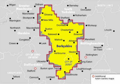
Ordnance Survey Derbyshire Street Atlas (Ordnance Survey/ Philip's Street Atlases)
This title features clear mapping, use of colour and a clear road hierarchy. It uses the most up-to-date digital data from Ordnance Survey and the AA. The text highlights 24-hour petrol stations, AA service centres, plus recommended restaurants, pubs and hotels. Clever use of colour means that the atlas can be read under street lighting, while a "battleship" grid with national grid referencing should make for easier referencing. Details such as one-way streets are clearly marked.
This local street atlas of the New Forest and its surrounding towns and villages gives detailed coverage of the area at an enlarged scale of 4 inches to 1 mile.The maps show hospitals, car parks, post offices, one-way streets, leisure facilities, industrial areas and retail areas, while the index lists street names and postcodes. An area road map enables the user to identify through-routes more easily.Pocket sized, and wire stitched so that it opens out flat, the atlas is ideally suited for both...
Philadelphia 5 County Metro (Pennsylvania) (USA StreetFinder Atlas S.)
The Oxford School Atlas
This new edition has been prepared to suit the revised National Curriculum requirements for geographical skills and locational knowledge.
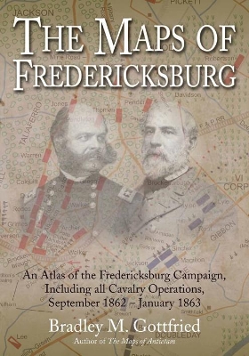
The Maps of Fredericksburg: An Atlas of the Fredericksburg Campaign, Including all Cavalry Operations, September 18, 1862 - January 22, 1863 continues Bradley M. Gottfried’s efforts to study and illustrate the major campaigns of the Civil War’s Eastern Theater. This is his sixth book in the ongoing Savas Beatie Military Atlas Series. After Robert E. Lee’s Army of Northern Virginia was forced out of Maryland in September 1862, President Abraham Lincoln grew frustrated by Maj. Gen. George McClel...
Statistical Atlas of Southern Counties
by Charles S Johnson, Lewis W. Jones, Buford H. Junker, and Eli S. Marks
This volume offers an analysis of significant social and economic items that have been computed according to county types. There is a map for each state with the county type indicated for each county. The extensive bibliography is arranged to permit all studies bearing on individual counties to be keyed to data for each county.Originally published in 1941.A UNC Press Enduring Edition -- UNC Press Enduring Editions use the latest in digital technology to make available again books from our distin...
The Complete Road Atlas of Ireland (Irish Maps, Atlases and Guides)
by Ordnance Survey Ireland
This road atlas is a joint publication between Ordnance Survey of Northern Ireland and Ordnance Survey of Ireland. The main body of the atlas contains 70 pages derived from the 1:210,000 scale Holiday Map Series with coloured street maps of 21 of the major towns and ferry ports. It includes a gazetteer to assist in the rapid location of cities, towns and villages, each with a page and grid reference. Designed especially for the motorist and spiral bound for easy use, this atlas includes other us...
