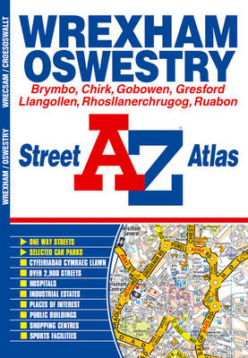
This A-Z map of Wrexham (Wrecsam) and Oswestry (Croesoswallt) is a full colour street atlas featuring 45 pages of continuous street mapping which extends to include:
*Hope (Yr Hob)*Brymbo
*Rossett (Yr Orsedd)
*Llay
*Gresford
*Farndon
*Coedpoeth
*Rhosllanerchrugog
*Ruabon
*Llangollen
*Cefn-Mawr
*Chirk (Y Waun)
*Gobowen
*WhittingtonIn addition, there are inset maps of Churton and Bangor-on-Dee (Bangor-Is-Y-Coed).
Postcode districts, one-way streets and safety camera locations with their maximum speed are also featured on the mapping.
The index section lists streets, selected flats, walkways and places of interest, place, area and station names, hospitals and hospices covered by this atlas.
- ISBN13 9781843483861
- Publish Date 8 August 2005
- Publish Status Out of Print
- Out of Print 7 July 2021
- Publish Country GB
- Publisher HarperCollins Publishers
- Imprint Geographers' A-Z Map Co Ltd
- Format Paperback
- Language English