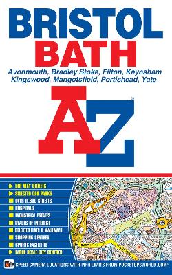
This paperback edition of the A-Z Bristol and Bath Street Atlas includes coverage of:
*Avonmouth
*Bradley Stoke
*Filton
*Keynsham
*Kingswood
*Mangotsfield
*Portishead
*YateThe 104 pages of continuous street mapping extends to include:
*Frampton Cotterell
*Chipping Sodbury
*Oldland
*Swainswick
*Batheaston
*University of Bath
*Combe Down
*Bath Spa University
*Saltford
*Whitchurch
*Bedminster
*Long Ashton
*Easton-in-Gordano
*Cribbs Causeway
*FiltonAlso included are large scale city centre maps of both Bristol and Bath and a postcode map of the atlas area.
Postcode districts, one-way streets and safety camera locations with their maximum speed are featured on the street mapping.
The index section lists streets, selected flats, walkways and places of interest, place, area and station names. There is a separate list of hospitals, NHS Walk-in Centres and hospices covered by this atlas.
- ISBN13 9781782570554
- Publish Date 4 February 2015
- Publish Status Active
- Publish Country GB
- Publisher HarperCollins Publishers
- Imprint Geographers' A-Z Map Co Ltd
- Edition New Sixth edition
- Format Paperback
- Pages 176
- Language English
- URL http://collins.co.uk