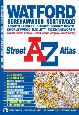
This A-Z map of Watford, Borehamwood, Bushey, Rickmansworth and Radlett features 31 street map pages extending to:
*Chorleywood
*Chandler's Cross
*Hunton Bridge
*Kings Langley (part)
*Abbots Langley
*Bricket Wood
*Colney Street
*M1 London Gateway Service Area
*Elstree
*South Oxhey
*Northwood (part)Also included is a large scale town centre map of Watford.
Postcode districts, one-way streets, safety camera locations with speed limits and the Greater London Low Emission Zone boundary are featured on the maps.
The index section lists streets; selected flats, walkways and places of interest; junction, place and area names; National Rail, Underground and Overground stations; hospitals and hospices covered by this atlas.
- ISBN13 9781782571216
- Publish Date 14 December 2015
- Publish Status Out of Print
- Out of Print 6 December 2021
- Publish Country GB
- Publisher HarperCollins Publishers
- Imprint Geographers' A-Z Map Co Ltd
- Edition New Seventh edition
- Format Paperback
- Pages 52
- Language English
- URL http://collins.co.uk