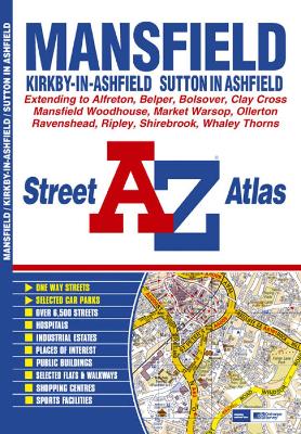
This atlas of Mansfield, Kirkby-in-Ashfield and Sutton-in-Ashfield features 64 pages of coloured street mapping with coverage extending to:
- Bolsover, Whaley, Whaley Thorns, Norton, Budby, New Ollerton, Edwinstowe, Clipstone, Rainworth, Blidworth, Ravenshead, Newstead, Selston, Brinsley, Ripley, Belper, Swanwick, Alfreton, Higham, Clay Cross and Grassmoor.
Postcode districts and one-way streets are featured on the mapping.
The index section of the atlas lists streets, selected flats, walkways and places of interest, place and area names, hospitals and hospices covered by this atlas.
- ISBN13 9781843485278
- Publish Date 22 October 2007
- Publish Status Active
- Publish Country GB
- Publisher HarperCollins Publishers
- Imprint Geographers' A-Z Map Co Ltd
- Edition New Third edition
- Format Paperback
- Pages 96
- Language English
- URL http://collins.co.uk