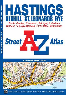
This atlas of Hastings, Bexhill, Battle, St. Leonards, Rye and Winchelsea has 38 pages of coloured street mapping that extends to:
*Westfield, Doleham Station, Icklesham, Bowlers Town, Camber, Winchelsea Beach, Fairlight Cove, Cooden Beach, Russell's Green and Crowhurst.Postcode districts, one-way streets and safety camera locations with their maximum speed limit are featured on the mapping.
The index section lists streets, selected flats, walkways and places of interest, place, area and station names, hospitals and hospices covered by this atlas.
- ISBN13 9781843486640
- Publish Date 28 February 2018
- Publish Status Active
- Publish Country GB
- Publisher HarperCollins Publishers
- Imprint Geographers' A-Z Map Co Ltd
- Edition New Third edition
- Format Paperback
- Pages 52
- Language English
- URL http://collins.co.uk