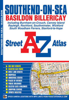
This A-Z map of Southend-on-Sea features 38 street pages covering:
*Basildon
*Billericay
*Burnham-on-Crouch
*Canvey Island
*Hadleigh
*Hullbridge
*London Southend Airport
*Rayleigh
*Rochford
*Shoeburyness
*Southminster
*South Woodham Ferrers
*Stanford-le-Hope
*WickfordPostcode districts, one-way streets and safety camera locations with speed limits are featured on the mapping.
The index section lists streets; selected flats, walkways and places of interest; place, area and station names; hospitals and hospices covered by this atlas.
- ISBN10 1843488574
- ISBN13 9781843488576
- Publish Date 20 May 2012
- Publish Status Out of Print
- Out of Print 29 February 2016
- Publish Country GB
- Publisher HarperCollins Publishers
- Imprint Geographers' A-Z Map Co Ltd
- Edition 7th edition
- Format Paperback
- Pages 64
- Language English
