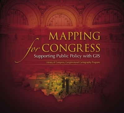
Mapping for Congress: Supporting Public Policy with GIS details how Library of Congress GIS professionals are able to help members of Congress and congressional staff understand public policy issues in a geographic context. Included in the book are more than thirty maps highlighting national trends and providing insight into how these patterns might influence current and future public policy.
- ISBN13 9781589481459
- Publish Date 1 February 2007
- Publish Status Out of Print
- Out of Print 12 March 2017
- Publish Country US
- Imprint ESRI Press
- Format Paperback
- Pages 83
- Language English
