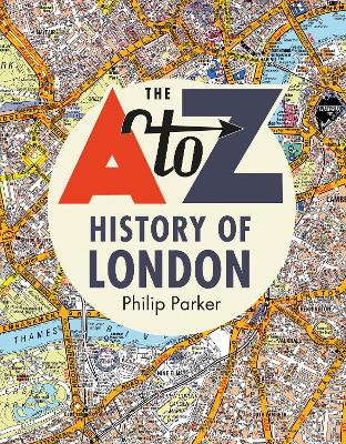
Beautifully presented, a perfect gift for history lovers.For the last century A-Z maps have been the trusted and reliable source of mapping for Londoners. As the face of London has changed so have the maps. History of Britain in Maps author, Philip Parker, outlines these changes.
Drawing on maps and photographs from the A to Z archives, Philip Parker reveals how the city has changed over the last one hundred years.
Did you know that Phyllis Pearsall walked 23,000 street in order to create the first street atlas of London? The land to build Heathrow airport on was bought for GBP15,000 from the Vicar of Harmondsworth? There used to be S and NE London postcodes?
London's skyline has gone from Big Ben and Tower Bridge to include the Tate Modern and The Shard. Several ill-fated projects appeared on maps, including London Millennium Tower and The Sparkplug, which never quite made it into the city's skyline
A beautifully presented book and perfect gift for any map lover and historian.
- ISBN13 9780008351762
- Publish Date 3 October 2019
- Publish Status Active
- Publish Country GB
- Publisher HarperCollins Publishers Inc
- Imprint HarperCollins
- Format Hardcover
- Pages 288
- Language English
- URL http://collins.co.uk
