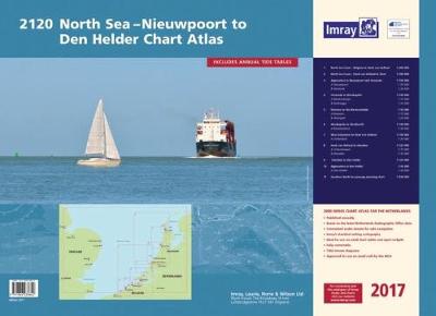
Part of Imray's popular small format chart coverage for the Netherlands, this atlas is a convenient A2 format, wirobound along one edge.Coverage is the North Sea coast, from the Belgian-French border, through the Zeeland, South Holland and North Holland coasts up to and including Den Helder.Included in the atlas are all of the navigational charts and tidal data required for coastal passage and approach. Also included is a larger-format passage planning sheet for plotting routes across the North Sea.This May 2017 edition includes the new shipping routes, precautionary areas and traffic separation schemes along the Belgian-Dutch coast and in the approaches to the Westerschelde, due to come into effect on 1st June 2017, as well as the wind farms under developement in the Borssele area.Charts in the atlas include1. North Sea Coast - Nieuwpoort to Hoek Van Holland (1:300 000)2. North Sea Coast - Hoek van Holland to Texel (1:300 000)3. Approaches to Nieuwpoort and Oostende (1:100 000) includes plans Niewpoort (1:30 000) and Oostende (1:20 000)4. Oostende to Westkapelle (1:100 000) includes plans Blankenberge (1:15 000) and Zeebrugge (1:35 000)5.
Entrance to the Westerschelde (1:50 000) includes plans Breskens (1:15 000) and Vlissingen (1:20 000)6. Westkapelle to Westhoofd (1:100 000) includes plan Roompotsluis (1:30 000)7. West Schouwen to Hoek van Holland (1:100 000) includes plan Stellendam (1:30 000)8. Hoek van Holland to IJmuiden (1:125 000) includes plans Scheveningen (1:15 000) and IJmuiden (1:35 000)9. IJmuiden to Den Helder (1:125 000)10. Approaches to Den Helder (1:50 000) includes plan Den Helder (1:20 000)11. Southern North Sea passage planning chart (1:500 000)Commended for the John C Bartholemew Award for Thematic Mapping at the 2016 British Cartographic Society Awards.
- ISBN13 9781846238642
- Publish Date 26 May 2017
- Publish Status Out of Print
- Out of Print 11 August 2021
- Publish Country GB
- Imprint Imray, Laurie, Norie & Wilson Ltd
- Edition 2nd Revised edition
- Format Paperback
- Language English