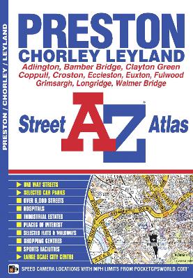
This atlas of Preston, Chorley and Leyland contains 39 pages of coloured street mapping and covers an area extending to include:
*Longridge, Grimsargh, Longton, Walmer Bridge, Hutton, Bamber Bridge, Gregson Lane, Much Hoole, Wheelton, Croston, Eccleston, Euxton, Charnock Richard, Coppull and Heath Charnock.*There is a large scale town centre map of Preston.
Postcode districts and one-way streets are featured on the mapping.
The index section list streets, selected flats, walkways and places of interest, place, area and station names, hospitals and hospices covered by this atlas.
- ISBN13 9781843485636
- Publish Date 26 September 2013
- Publish Status Out of Print
- Out of Print 5 July 2021
- Publish Country GB
- Publisher HarperCollins Publishers
- Imprint Geographers' A-Z Map Co Ltd
- Edition New Sixth edition
- Format Paperback
- Pages 60
- Language English
- URL http://collins.co.uk
