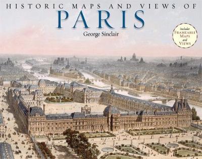
The 24 unique, fascinating, and beautiful maps and views in this book date from the 12th century to the present, including some of the earliest known maps of Paris as well as topographical maps, views of iconic locations and monuments, transit maps, maps used for advertising, road and bicycle maps, and much more.The images have been carefully selected by photographic historian George Sinclair, who traveled across Europe to mine some of the most obscure historical collections for a wide variety of unique, never-before-published, and visually and historically intriguing images. Every map or view includes the original printing information on the back and is accompanied by brief text that places the image in its historic context and further illuminates its qualities. In addition, Sinclair provides a thoughtful introduction to the collection of images. Printed on high-quality matte paper and exquisitely reproduced, these images are perfect for display in any home, office, library, dorm room, or classroom.
- ISBN10 1579127983
- ISBN13 9781579127985
- Publish Date 1 January 2011
- Publish Status Out of Print
- Out of Print 5 March 2021
- Publish Country US
- Imprint Black Dog & Leventhal Publishers Inc
- Format Paperback (UK Trade)
- Pages 56
- Language English
