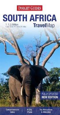
South Africa at 1:1,500,000 on a very large, indexed map from Insight Guides with street plans of Cape Town, Johannesburg, Durban and Pretoria, plus enlargements showing in greater detail the Cape Peninsula, the Kruger National Park, plus the iSimagaliso Wetland Park with the Hluhluwe National Park.On one side is the main map covering South Africa at 1:1,500,000 with southern Namibia, much of southern Botswana, Swaziland and the southern coast of Mozambique around Maputo. Relief shading shows the topography with names of mountain ranges and main peaks. National parks and protected areas are highlighted. The map shows a large number of smaller towns and villages. Both principal highways and connecting secondary roads are clearly numbered, with driving distances shown on main routes. Railway lines are included and airports are marked. Road maps from the Insight Guides indicate towns worth visiting and include a wide range of small icons prominently highlighting various places of interest. The map has no geographical coordinates.Enlargements and street plans, all annotated with places of interest, show the Cape Peninsula, the Kruger National Park, and the iSimagaliso Wetland Park with the Hluhluwe National Park, plus Cape Town, Johannesburg, Durban and Pretoria. The indexes for the main map and for the enlargements and street plans all include separate lists of places of interest highlighted on them. Also provided is a general map of the southern part of Africa.
- ISBN13 9781780054391
- Publish Date 1 October 2012
- Publish Status Out of Print
- Out of Print 4 March 2021
- Publish Country GB
- Publisher APA Publications
- Imprint Insight Guides
- Edition 2nd Revised edition
- Format Paperback
- Pages 2
- Language English
