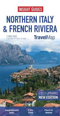
"Travel Map Northern Italy & French Riviera" is an indexed, road map at 1:800 000. It includes detailed city plans of Bologna, Florence, Milan, Venice & Nice, each with its own separate index. Places of interest, including national parks, nature reserves and heritage sites, are listed and depicted by a wide range of pictorial symbols for instant recognition. These symbols have been colour coded by category. In addition to the road and rail networks, ferry routes and airports, this map provides an overview of the topography through the use of relief shading, with mountain ranges named and peak heights given. Mountain passes show gradients for steep ascents. Handy distance indicators, located in the margin, give distances to the nearest town, major locations and motorway junction, if applicable. Intermediate driving distances are given on main and secondary roads. The extensive legend is shown in 4 languages.
- ISBN13 9781780054872
- Publish Date 2 April 2013
- Publish Status Out of Print
- Out of Print 4 March 2021
- Publish Country GB
- Publisher APA Publications
- Imprint Insight Guides
- Edition 3rd edition
- Format Paperback
- Pages 1
- Language English