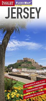
"Fleximap Jersey" is a laminated, tear-resistant map which includes 5 maps, each with individual indexes, categorized for ease of use. The main map depicts Jersey at a scale of 1:35 000, the island's topography is shown by the use of relief shading. Street plans of St Helier, St Brelade and Gorey Village are also included on which places of interest, parks, streets and selected hotels are named. An overview map of the Channel Islands and French coast shows the various ferry routes. In addition to the mapping, "Fleximap Jersey" also gives a list - with descriptions and some photographs - of 26 recommended sights, divided by theme and linked to the mapping by numbered markers. There is also a handy information section with concise details on getting around, tourist offices, money, tipping, opening times, public holidays, telecommunications, emergency telephone numbers and climate.
- ISBN13 9781780053806
- Publish Date 17 January 2013
- Publish Status Out of Print
- Out of Print 17 September 2015
- Publish Country GB
- Publisher APA Publications
- Imprint Insight Guides
- Edition 3rd Revised edition
- Format Paperback
- Pages 1
- Language English