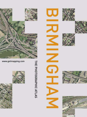
This is a revealing atlas of England's second city combines the vertical aerial photography of Getmapping.com with Collins' street mapping - a combination of photography and cartography. If you live in Birmingham or the West Midlands, you will already possess a personal stake in this book - within its pages you could be able to find your house, perhaps locate your car parked in the street, trace your route to work, and visit some of your favourite places. On closer inspection you may spot patterns that are invisible from the ground, discover surprising links between unconnected areas, find large areas of greenery that you never knew existed, and explore new neighbourhoods for the first time. Even if you don't know the city well, you will find this book fascinating. The photography and the cartography share the same standard grid system, meaning you can cross-reference quickly between the two elements. The photography has been geo-corrected, a process that removes the distortions in the original aerial photography; and throughout the whole book the grid interval is 500 metres, so that distances can be accurately assessed.
- ISBN10 0007144180
- ISBN13 9780007144181
- Publish Date 7 October 2002
- Publish Status Out of Print
- Out of Print 4 October 2004
- Publish Country GB
- Publisher HarperCollins Publishers
- Imprint Collins
- Format Hardcover
- Pages 160
- Language English
- URL http://harpercollins.co.uk
