Features stunning aerial photographs of the Deep-water Horizon Gulf oil spill. The full scale of the disaster is revealed in these photographs where the human presence takes the form of tiny toy-like helicopters and ships. Only the billowing smoke from a great fire signals the true destruction caused.

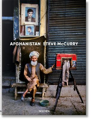
Afghanistan has long been a country overwhelmed by tribal rivalries, colonial wars, and geo-political conflict. The Afghans have called their mountains “the land of rebellion,” a land that has not been successfully occupied since the times of Alexander the Great. These invaders — Persians, Arabs, Moguls, Sikhs, British, Russians — may have been thwarted, but wandering through the bazaars of Kabul will attest to their legacy. In the people of Afghanistan, the genes of countless races meet and int...


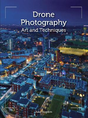
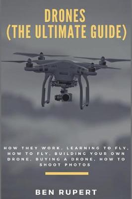
Drones offer the photographer new creative horizons, but how do you get started? This practical book shows you the way. The first section deals with drone flying, while the second guides you through the complexities of aerial photography. Together with practical insights, case studies and professional shots, it illustrates how to take stunning photos from incredible - and hitherto unreachable - angles and heights. Topics covered include: getting airborne and how to choose a drone and fly it...

The First World War has been described as the first total war, a conflict in which a country’s people and resources were harnessed towards final victory. During 2014-18 Historic England set out to uncover and study the physical remains left across England by the First World War. The range of what was discovered is astonishing, reflecting how the home front became as important as the battlefront. It was the place to train and equip new armies, to manufacture armaments, to treat the wounded and...

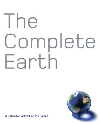
Combining the data from 18 of the most advanced Earth satellites ever built, NASA has constructed the most detailed global portrait of our planet ever created. The Complete Earth reproduces this photomap in its entirety and at full-resolution, living up to its title by revealing the whole planet, cloud-free, at a resolution of 500m to every pixel, or 90 miles to every inch. At this scale we can we can trace the Amazon from Andean headwaters to Atlantic mouth, or explore the trackless sand seas o...
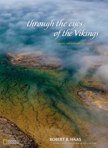
Haas trains his lenses on the regions that transect the Arctic Circle. His latest project yields stunning images that show not a “blinding storm of white” as one might think—but rather, a dramatic and surprising diversity of brilliant colors and unexpected subjects.

Having Fun Over Bristol, World Capital of Hot Air Ballooning
by Llewelyn Pritchard Ma

In 1989 a client asked Kevin to submit a sample aerial photograph. He had never taken any so he sent one taken from a mountaintop. The result was a commission for an aerial photograph and his first helicopter flight; his new career 'took off'. In sunny weather, Ireland is one of the most beautiful places but Kevin sometimes waited a whole summer for suitable weather to be rewarded with a day from heaven. These photographs are gathered to share the beauty of Ireland as it unfolded on various flig...