
Haas trains his lenses on the regions that transect the Arctic Circle. His latest project yields stunning images that show not a “blinding storm of white” as one might think—but rather, a dramatic and surprising diversity of brilliant colors and unexpected subjects.
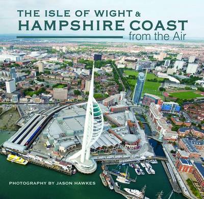
The Isle of Wight and Hampshire Coast from the Air (From the Air)
by Jason Hawkes
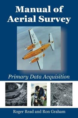
Primary data acquisition is the front end of mapping, GIS and remote sensing and involves: aviation, navigation, photography, cameras (film and digital systems), GPS systems, surveying (ground control), photogrammetry and computerized systems.This book deals with differential GPS systems, survey flight management systems (both simple and sophisticated), film types, modern film survey cameras such as LH RC-30, Z/I RMK-TOP, digital cameras, infrared methods, laser profilers, airborne laser mapping...

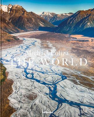
"...Immerse yourself in this selection of spellbinding shots from his latest book, The World." —Food & Travel Michael Poliza is more than a seasoned globetrotter who has travelled through almost 170 countries. He is also a collector of the world, always on the lookout for breathtaking landscapes, remote regions, and intact nature reserves. With his camera ever on hand, Poliza does not only want to experience the beauty of the planet, but also to make it accessible to all. In his two great books...
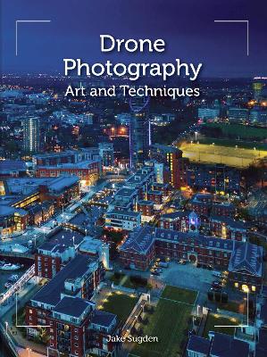
Drones offer the photographer new creative horizons, but how do you get started? This practical book shows you the way. The first section deals with drone flying, while the second guides you through the complexities of aerial photography. Together with practical insights, case studies and professional shots, it illustrates how to take stunning photos from incredible - and hitherto unreachable - angles and heights. Topics covered include: getting airborne and how to choose a drone and fly it...
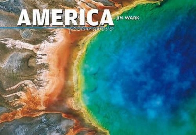
There are many countries with magnificent scenes to be photographed, but none with the diversity of America - from the sunny beaches of Florida, to the rugged, hostile peaks and glaciers of Alaska, and the comfortable magnificence of the Grand Canyon, and from the island paradise of Hawaii to the desolation of Death Valley. Where else in one country can this complete array of human activity and natural beauty be found? And only in America does the freedom exist for a sky-bum to roam unfettered w...

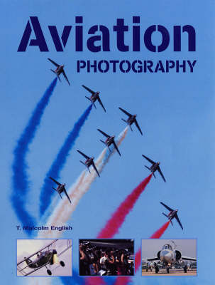
A revised and expanded edition of A Guide to Aviation Photography, with new images and updated text that takes into account the latest advances in camera technology and changes in the aviation world. With this richly illustrated guide, amateur shutterbugs and airplane buffs can capture every thrilling shot they've ever dreamed of. It explains everything about equipment, the right techniques for a variety of situations, and how to capture images ranging from straight record shots to creative, abs...
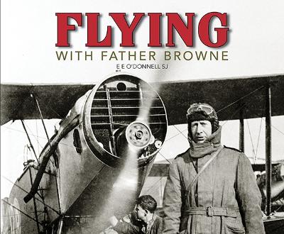
Father Francis Browne SJ, Titanic photographer and much decorated war chaplain, began to take flying lessons at Baldonnell Aerodrome, near Dublin, in 1925. His first aerial photographs were taken in 1926 and he was still flying over County Dublin in light aircraft until the 1930s. It was in the 1940s, however, that Fr Browne took most of his photographs of aircraft and airports. Aviation had developed greatly and grass airstrips gave way to concrete runways, as glorified shacks and Nissen huts m...

By means of the ambitious We Drift-concept, an exhibition of 1,000,000 m^2, Wim Tellier wants to confront us with our vulnerability as a human on an endangered planet Earth. Through this book, the author shows us the origin of the project, the challenges and the various unique locations. Impressive images illustrate the result of this exciting project. It is the first art installation in the world that is driven by nature. Wim Tellier is one of the most innovative contemporary artists in Belgium...

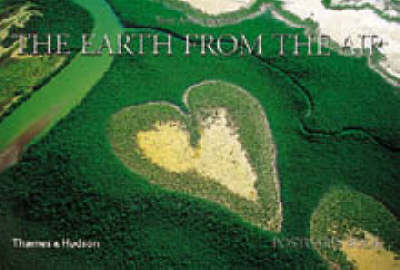
The Earth from the Air Postcard Book
by Yann Arthus-Bertrand and Maximilien Rouer
The aerial photographs in this collection, often taken from a low altitude, show landscapes, dwellings, coasts, forests, and animals. They reveal the imprint of human civilization on the face of the globe, recording the impact of population and the world industrial economy.

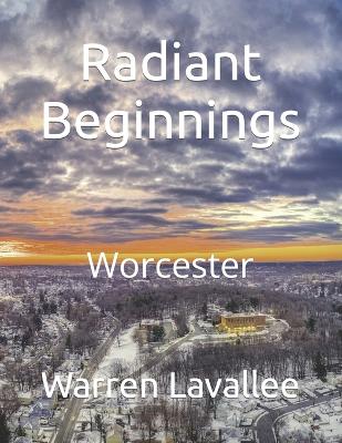
Radiant Beginnings (Divine Echoes: Landscapes of Serenity and Strength)
by Warren Lavallee
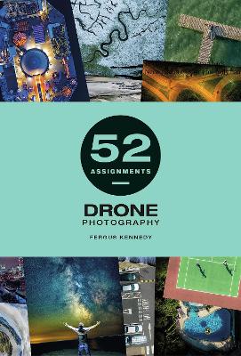
52 Assignments: Drone Photography is a year’s worth of inspiring weekly assignments to kick-start your creativity. This book is a mission brief, a portfolio of photographic workshops, a personalised journal and an inspirational guide to putting the creativity back into your craft. It is filled with a year’s worth of weekly commissions and concepts for conceiving and composing powerful and dynamic drone photographs and videos. Full of technical advice and professional tips, the book includes sp...
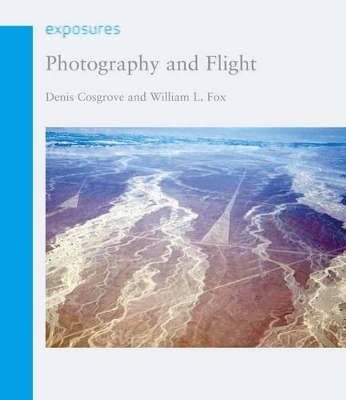
"Photography and Flight" charts the rich and varied history of aerial photography, which has been used for everything from geographic exploration to secret spy missions. Beginning with early images taken from hot-air balloons and fixed platforms, Denis Cosgrove and William Fox then explain how military reconnaissance was instrumental in catalysing innovations in the field. They examine pivotal historical moments when aerial photography began to establish itself as an essential tool, such as in S...