Exposures
1 total work
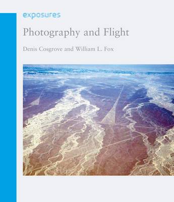
"Photography and Flight" charts the rich and varied history of aerial photography, which has been used for everything from geographic exploration to secret spy missions. Beginning with early images taken from hot-air balloons and fixed platforms, Denis Cosgrove and William Fox then explain how military reconnaissance was instrumental in catalysing innovations in the field. They examine pivotal historical moments when aerial photography began to establish itself as an essential tool, such as in Second World War military strategies, high-altitude photography taken from postwar rockets and aircraft, and the extensive implementation of aerial photography during the Cold War and the Cuban Missile Crisis. The book also explores the advancement of geographic scholarship through aerial photography, ranging from military excursions into remote areas like Antarctica to the images of the curvature of the earth taken during the Apollo space missions. While digital technology and remote sensing have changed the landscape of photography, "Photography and Flight" argues that they have not diminished the significance of aerial photography in providing images of the earth.
Rather, new technologies and resulting innovations such as Google Earth have enabled the mass-democratization of access to such information.
Rather, new technologies and resulting innovations such as Google Earth have enabled the mass-democratization of access to such information.