Reviewed by annieb123 on
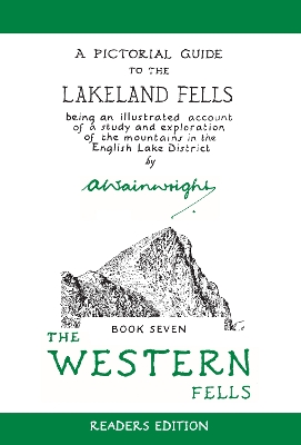
The Western Fells is a well structured and written guide to roaming the Western Fells area of the Lake District. Originally published in 1966 and revised in 2009, this classic is now in a new edition due out 23rd June 2020 from Quarto on their Frances Lincoln imprint. It's 352 pages.
The Wainwright guides are known for their meticulous (mostly hand drawn) maps, thorough explanations and classic layout. The table of contents includes a key map with different hikes listed alphabetically by name with included heights/difficulties of the climbs and a keycoded numbered map along with page numbers for easy reference.
The introduction and commentary updated by Clive Hutchby includes picturesque, almost whimsical, destination walks including Floutern Tarn, Gavel Fell, and Grey Knotts (via Seatroller) and more. There are 33 distinct walks listed with a whole book full of additional commentary, tips, and landmarks.
The text is spare, but gently poetic. The love that the creators of the book have for contemplative rambles in the countryside shines through, though it never crosses over into the maudlin. Most of the walks are delineated with waypoints including some useful information such as 360 degree panorama maps of what the reader is looking at once the summits have been attained. The text is rendered in a font that mimics a hand drawn journal. It's high contrast and easy to read. And the maps, always always the meticulously drawn maps are the stars of the volume. There are multitudinous very well drawn, clear, and understandable maps and line drawings of landmarks and natural features along each of the walks.
Beautifully made book full of the natural wonder of this area of the Lake District. Still relevant after more than 50 years. Five stars.
Disclosure: I received an ARC at no cost from the author/publisher for review purposes.
Reading updates
- Started reading
- 14 June, 2020: Finished reading
- 14 June, 2020: Reviewed