A Potted History
1 total work
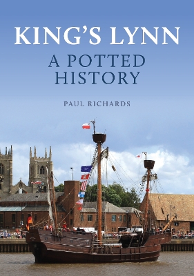
From 1100 Lynn’s prominence as an English port town depended on an extensive hinterland embraced by the Great Ouse river system. This privileged geographical position was reinforced by its location on England’s east coast, facing Europe across the North Sea. The Wash haven experienced relative decline after 1750 due to the absence of an expanding industrial hinterland which boosted Hull and Newcastle. However, Lynn’s international and coastal trades (grain, coal, timber and wine) remained considerable into the 19th century. Then the coming of the railways in the 1840s robbed the Norfolk town of its geographical advantages. It was rescued by the construction of two enclosed docks linked to the national railway network which sparked an industrial revolution led by engineering factories. Town population was growing by 1900 but Lynn’s late Victorian economic growth was not sustained into the 1920s and 1930s. The Council sealed an overspill agreement with the Greater London Council in 1962 which heralded a second industrial revolution. Suburban industrial and housing estates were built, though parts of the historic town were also redeveloped. Yet Lynn retains an exceptional historic built environment which connects us with what was for centuries a premier English maritime community.
Illustrated throughout, this accessible historical portrait of the transformation that King’s Lynn has undergone through the ages will be of great interest to residents, visitors and all those with links to the town.
Illustrated throughout, this accessible historical portrait of the transformation that King’s Lynn has undergone through the ages will be of great interest to residents, visitors and all those with links to the town.
