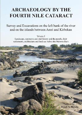
Archaeology by the Fourth Nile Cataract
1 total work
This volume is the first of several devoted to publishing the results of the Sudan Archaeological Research Society’s surveys and excavations in the region of the Fourth Cataract. This, a component of the Merowe Dam Archaeological Salvage Project, was conducted along a 40km stretch of the river on the left bank and on the islands.
Following an introduction to the project, chapters focus on the palaeoenvironment in the concession area between Amri and Kirbekan, on the flora and toponyms, and on the folklore, agricultural practices, architecture and the life styles of the Manasir and Shaqiya inhabitants immediately before the inundation of the region by the Merowe Dam.
Following an introduction to the project, chapters focus on the palaeoenvironment in the concession area between Amri and Kirbekan, on the flora and toponyms, and on the folklore, agricultural practices, architecture and the life styles of the Manasir and Shaqiya inhabitants immediately before the inundation of the region by the Merowe Dam.
