British Walking Guides
1 total work
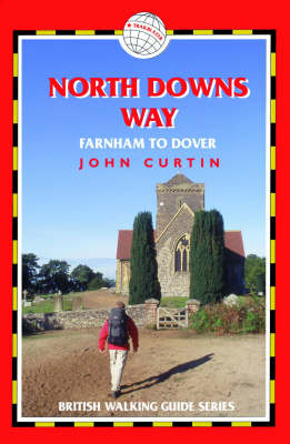
A new title in Trailblazer's 10-title series of British Walking Guides. A 131-mile National Trail, the North Downs Way runs from Farnham in Surrey to Dover in Kent via Canterbury, winding its way through the protected landscape of two Areas of Outstanding Natural Beauty, the Surrey Hills and the Kent Downs. The path passes medieval churches, castles, Neolithic burial sites, vineyards and numerous WWII defences. There are literary associations with Swift, Cobbett, Dickens and Jane Austen.. 10 town plans and 60 large-scale walking maps at just under 1:20,000 showing route times, places to stay, places to eat, points of interest and much more. These are not general-purpose maps but fully-edited maps drawn by walkers for walkers.. . Itineraries for all walkers whether walking the route in its entirety over one to two weeks or sampling the highlights on day walks and short breaks. . Practical information for all budgets camping, bunkhouses, hostels, B&Bs, pubs and hotels; Farnham through to Dover via Canterbury where to stay, where to eat, what to see, plus detailed street plans. . Comprehensive public transport information for all access points on the North Downs Way. . Flora and fauna four page full color flower guide, plus an illustrated section on local wildlife. . Green hiking understanding the local environment and minimizing our impact on it"
