Research Reports of the Society of Antiquaries of London
1 total work
Modern-day Aldborough, in North Yorkshire, lies on the site of Isurium Brigantum, the former administrative capital of the Brigantes, one of the largest indigenous tribes of Roman Britain. Strategically located on Dere Street, by the second century AD it had become a key Roman town engaged with the supply of the northern frontier, with buildings and mosaics that reveal a thriving economy through to the fourth century.
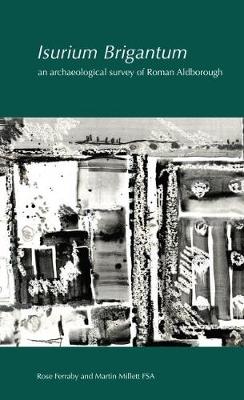
In the eighteenth and nineteenth centuries, the site of Isurium Brigantum was the subject of important antiquarian investigations. However, unlike some southern counterparts - for example, Calleva Atrebatum or Verulamium - in the twentieth century it attracted less archaeological attention. Then, in 2009 a team of archaeologists led by Dr Rose Ferraby and Professor Martin Millett began a major re-examination of the site. This included large-scale geophysical surveys using both gradiometry and high-resolution ground-penetrating radar. Most of the town and its surroundings were revealed, allowing its development from the second century AD to the medieval period to be mapped with great accuracy.
Brought together in this volume for the first time are the results of those surveys, together with a re-evaluation of the earlier antiquarian work and more recent archaeological fieldwork and excavations - some never before published. The resulting volume provides historians and archaeologists with exciting new information about the topography and development of the Roman town and later landscape, together with a thorough review of the town in the broader context of Roman Britain and the western Empire.
The volume is complemented by an interactive digital archive, which is free to access.
