Irish Historic Towns Atlas
1 primary work
Book 22
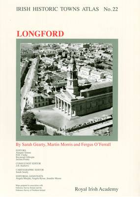
Number 22 in the `Irish Historic Towns Atlas' series, Longford presents an essay introducing this midlands town and over 700 site references. Historical maps and old views are presented in colour on eighteen large-format sheets. Together the maps and text trace Longford's growth from its origins as a Gaelic market centre to its development as a plantation, landlord and ultimately modern county town. The morphological essay explains the shaping of the town and is supported with the gazetteer of topographical information detailing population figures, street names, religious houses, manufacturing, transport, entertainment and residences. A number of loose sheets of maps and illustrations are included in the atlas allowing detailed studies of various aspects of the urban development of Longford. A CD-ROM is included in this bound fascicle.
Authors: Sarah Gearty, Martin Morris, Fergus O'Ferrall; Series editors: Anngret Simms, H.B. Clarke, Raymond Gillespie, Jacinta Prunty; Cartographic editor: Sarah Gearty; Editorial assistants: Angela Murphy, Angela Byrne, Jennifer Moore
Authors: Sarah Gearty, Martin Morris, Fergus O'Ferrall; Series editors: Anngret Simms, H.B. Clarke, Raymond Gillespie, Jacinta Prunty; Cartographic editor: Sarah Gearty; Editorial assistants: Angela Murphy, Angela Byrne, Jennifer Moore
