East Anglian Archaeology Monograph
4 primary works
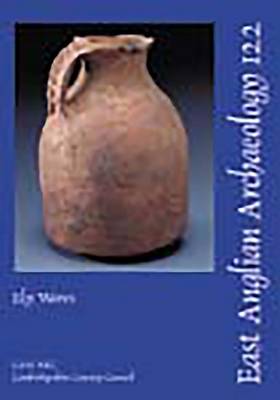
Book 122
Book 153
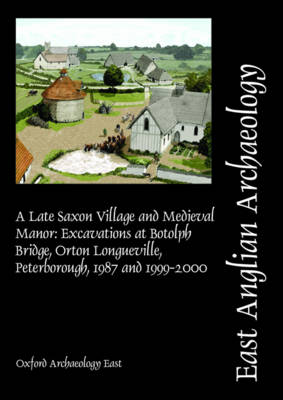
EAA 153: A Late Saxon Village and Medieval Manor
by Paul Spoerry and Rob Atkins
Published 5 February 2015
Botolph Bridge, now within urban Peterborough, lay beside an important crossing of the River Nene and once formed part of a well-known medieval vill, referenced in Domesday Book. Botolph Bridge was noted for its well preserved medieval earthworks but since the late 1980s these have gradually been destroyed by housing development. An earthwork survey carried out in 1982 amply demonstrated the complexity and importance of the site, showing a church and manorial complex with house plots strung out along an adjacent road and fields separated from the main settlement by a hollow way. Excavation demonstrated that the manorial enclosure had replaced earlier house plots by c.1200. In the later 14th century, there was considerable investment by the manorial holders, the Draytons. A manorial farm was built above earlier fields, with stone buildings constructed around a courtyard including a farmhouse, dovecote and ancillary buildings. Within the manorial enclosure itself, further agricultural buildings were laid out. All these buildings had been abandoned by c.1600. The church, located just north of the excavation area, was finally demolished in 1695.
Book 159
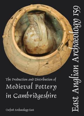
EAA 159: The Production and Distribution of Medieval Pottery in Cambridgeshire
by Paul Spoerry
Published 20 June 2016
This synthetic and analytical study of medieval pottery focuses on the post-1974 County of Cambridgeshire, including the historic counties of Cambridgeshire and the Isle of Ely, Huntingdonshire and the Soke of Peterborough. The period under study is the Middle Saxon to the end of the medieval period (c. AD 650 to AD 1500). The research project, funded by Historic England, examines evidence for pottery manufacture and its distribution and use, through the study of documents, publications, excavated assemblages and museum collections.
The report is presented in two parts. Part 1 describes the results of the research programme, and also provides a consideration of period assemblages by ceramic sub-region with a synthesis of the results which examines in detail aspects such as pottery production and supply. Areas for further research are identified. Part 2 provides the illustrated type series and scientific analysis through the use of thin sections and ICPS investigation.
The report is presented in two parts. Part 1 describes the results of the research programme, and also provides a consideration of period assemblages by ceramic sub-region with a synthesis of the results which examines in detail aspects such as pottery production and supply. Areas for further research are identified. Part 2 provides the illustrated type series and scientific analysis through the use of thin sections and ICPS investigation.
Book 164
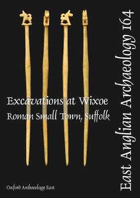
Construction of the Abberton pipeline has provided the first opportunity for a major excavation within a Roman small town in Suffolk for more than 20 years. The pipeline, which extends from Kirtling Green (Suffolk) at the north end to Wormingford (Essex) at the south, also provided an opportunity to investigate the hinterland of the Roman town. Wixoe is one of only eight small towns known within the county and appears to have developed on both banks of the River Stour, close to an ancient crossing point and adjacent to the Via Devana. Apart from antiquarian investigations, little archaeological work had been undertaken within the town. Recently, however, extensive fieldwalking and metal detecting surveys conducted by local amateur archaeologists have led to the recovery of over 4,000 coins from the site of the town and its environs. A much clearer history of the town has begun to emerge as a result of the fieldwalking, geophysical survey, evaluation and excavation undertaken in advance of the pipeline project. This work has shown that Wixoe was a post-Boudican planned town probably established at a similar time to several others in the region. The town appears to have reached its peak in the 2nd century, following which there seems to have been a slow decline (at least in the excavated part of the settlement) leading to its eventual abandonment in the very late 4th or early 5th century. The excavations produced a significant fmds assemblage that includes a major collection of pottery, analysis of which has identified supply patterns similar to other civilian Roman 'borderland' settlements in the region, especially Great Chesterford.