British Institute of Persian Studies Archaeological Monograph
3 primary works
Book 1
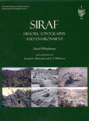
Siraf
by Cameron A. Petrie, David Whitehouse, Donald Whitcomb, and T. J. Wilkinson
Published 11 December 2009
Between 1966 and 1973, the British Institute of Persian Studies conducted seven seasons of excavation and survey at Siraf, which was a major city on the Iranian shore of the Persian Gulf that played a leading role in the network of maritime trade that supplied Western Asia with the products of India, the Far East and Eastern Africa between A.D. 800 and 1050. This volume synthesises the written evidence of the history of Siraf, and outlines what we know about the character of the city, the ways in which its inhabitants exploited the hinterland and its role in the maritime trade of the Indian Ocean.
This volume introduces the excavations carried out at the site and the range of finds that were recovered (Chapter 1), the written evidence that relates to Siraf (Chapter 2), the cities' urban topography (Chapter 3), its hinterland (Chapter 4), the nature of settlement in the neighbouring high valleys (Chapter 5) and Siraf's place in the wider historical and geographical contexts (Chapter 6). The volume also includes digital versions of the original maps of the site produced in the 1970s.
This is the first volume in a new series that has been established by the British Institute of Persian Studies (BIPS) in conjunction with Oxbow Books, which will publish archaeological research in Iran that has been sponsored by BIPS.
Book 2
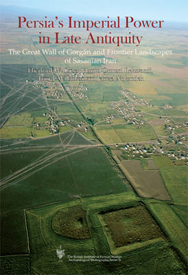
Persia's Imperial Power in Late Antiquity
by H. Omrani Rekavandi, T. J. Wilkinson, J. Nokandeh, and Eberhard Sauer
Published 11 January 2013
The Gorgan Wall stretches for over 200km through northern Iran. Guarded by over 30 forts, it is longer than Hadrians Wall and the Antonine Wall put together and is the most monumental ancient border defence system between Central Europe and China. Yet few have heard of it. Until recently, dating proposals ranged over more than a millennium, and majority opinion attributed the wall to the Parthians (3rd century BC 3rd century AD). Scientific dating has now established that this massive monument was created in the 5th/6th century AD and belongs to one of the largest and most long-lasting empires of antiquity, that of Sasanian Persia (3rd-7th centuries AD). Stretching from modern Pakistan to Mesopotamia and into Central Asia and the Arabian Peninsula, the empire conquered in the early 7th century much of the Levant and advanced as far as the Bosporus. Investigations between 2005 and 2009 by a team of archaeologists makes clear that such expansion was made possible through one of the largest and most well organised military systems of antiquity, together with targeted investment in border defence and the empires agriculture. In the hinterland of the wall there were massive square fortifications, of some 40 ha size each, one of which has yielded traces of dense occupation, probably neat rows of army tents. The Late Sasanian era also saw the foundation of a city, more than twice the size of Roman London at its prime, demonstrating that the area was prosperous enough to sustain a sizeable urban population. Substantial manpower was required for these construction projects. Brick production for the Gorgan Wall depended on thousands of kilns that received water via major canals. The wall cut through a landscape that already a millennium earlier was heavily settled and irrigated by canals which enabled a flourishing culture to emerge in the steppe. The Gorgan Wall project has shed light on what made one of antiquitys largest empires and earlier civilisations succeed.
Book 6
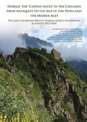
The Huns, invading through Dariali Gorge on the modern-day border between Russia and Georgia in AD 395 and 515, spread terror across the late antique world. Was this the prelude to the apocalypse? Prophecies foresaw a future Hunnic onslaught, via the same mountain pass, bringing about the end of the world. Humanity’s fate depended on a gated barrier deep in Europe’s highest and most forbidding mountain chain.
Centuries before the emergence of such apocalyptic beliefs, the gorge had reached world fame. It was the target of a planned military expedition by the Emperor Nero. Chained to the dramatic sheer cliffs, framing the narrow passage, the mythical fire-thief Prometheus suffered severe punishment, his liver devoured by an eagle. It was known under multiple names, most commonly the Caspian or Alan Gates.
Featuring in the works of literary giants, no other mountain pass in the ancient and medieval world matches Dariali’s fame. Yet little was known about the materiality of this mythical place. A team of archaeologists has now shed much new light on the major gorge-blocking fort and a barrier wall on a steep rocky ridge further north. The walls still standing today were built around the time of the first major Hunnic invasion in the late fourth century – when the Caucasus defences feature increasingly prominently in negotiations between the Great Powers of Persia and Rome. In its endeavour to strongly fortify the strategic mountain pass through the Central Caucasus, the workforce erased most traces of earlier occupation. The Persian-built bastion saw heavy occupation for 600 years. Its multi-faith medieval garrison controlled Trans-Caucasian traffic. Everyday objects and human remains reveal harsh living conditions and close connections to the Muslim South, as well as the steppe world of the north. The Caspian Gates explains how a highly strategic rock has played a pivotal role in world history from Classical Antiquity into the twentieth century.


