Bartholomew Walk Guides
2 total works
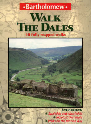
New edition under the Collins imprint. Forty walks in the Yorkshire Dales, one of England's most scenic areas. Each walk has step-by-step route directions, an easy-to-follow map and a description of points of interest along the way. Includes walks in the ever-popular Wharfedale and Swaledale, as well as stretches of the Pennine Way. * Each walk graded according to distance and difficulty, from short strolls to longer hikes. * Includes a brief history of the Yorkshire Dales and information on geology and natural history. OTHER TITLES IN THE SERIES Walk the Cornish Coastal Path Walk the Lakes Walk Loch Lomond and the Trossachs Walk Loch Ness and the Spey Valley Walk the New Forest Walk Oban, Mull and Lochaber Walk the Peak District Walk Snowdonia and North Wales Lake District Walking Map Munro Map
The North York Moors extend over 550 square miles, and is an area of outstanding natural beauty. These 40 walks cover the full range of terrain, from the harshness of the high moors to the dramatic sea cliffs of the Yorkshire coast. Where possible, the walks are circular and start from a car park. They vary from short strolls to long hikes and are graded according to distance and difficulty, making it easy to select an appropriate route. The walks are illustrated with large-scale, easy-to-follow maps, supported by simple step-by-step route instructions. This guide has been designed with the practical needs of the walker in mind. It is easy to carry and small enough to fit into a jacket pocket. A brief history of the Moors is given in the introduction, with additional notes on geology, wildlife and the country code.

