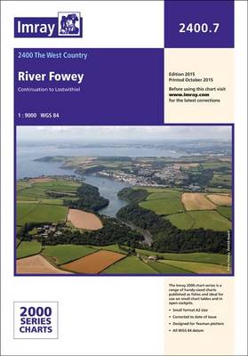
Imray Chart Pack 2300

by Imray

Published 1 December 2015
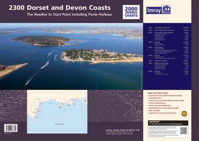
The Needles to Start Point including Poole Harbour A pack of 9 charts for the Dorset and Devon Coasts. The pack includes: 2300.1 Isle of Wight to Start Point 1:400,000 2300.2 Western Approaches to the Solent 1:60,000 2300.3 Poole Harbour to Bill of Portland 1:75,000 2300.4 Lyme Bay 1:175,000 2300.5 Poole Harbour 1:20,000 2300.6 River Exe 1:21,50 2300.7 Exmouth to Salcombe 1:100,000 2300.8 Teignmouth and Tor Bay 1:55,000 2300.9 River Dart 1:15,000

Imray Chart Atlas 2160

by Imray

Published 24 February 2017
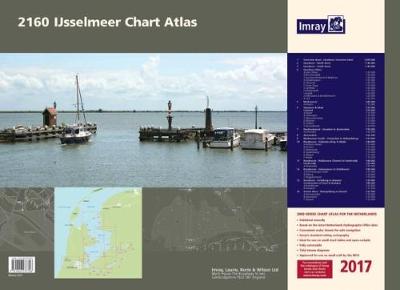
Part of Imray's small format range of atlases for the Netherlands. Includes extensive coverage of the IJsselmeer, Markermeer and Randmeren, as well as the Nordzeekanaal from IJmuiden to Amsterdam.Charts in the atlas include1. IJsselmeer Overview Chart (1:350 000)2. IJsselmeer - North sheet (1:85 000)3. IJsselmeer - South sheet (1:85 000)4. IJsselmeer Plans - Den Oever (1:25 000), Breezanddijk (1:20 000), C Kornwerderzand & Makkum (1:25 000), Hindeloopen (1:25 000), Stavoren (1:25 000), Oude Zeug (1:15 000), Lemmer (1:25 000), Medemblik (1:15 000), Andijk (1:20 000), Enkhuizen & Broekerhaven (1:20 000) and Urk (1:20 000)5. Markermeer (1:85 000) includes plan Hoorn (1:15 000)6. Gouwzee & Edam (1:35 000) and Lelystad (1:35 000) includes plans Edam (1:12 500), Volendam (1:15 000), Monnickendam (1:15 000), Marken (1:10 000), Uitdam (1:10 000), Houtribhoek (1:20 000)7. Nordzeekanaal - IJmuiden to Amsterdam (1:50 000) includes plan IJmuiden (1:20 000)8. Amsterdam (1:22 500)9. Markermeer South - Oranjesluis to Hollandsbrug (1:25 000)10.Randmeren - Hollandse Brug to Nulde (1:40 000) includes plans Almere Haven (1:15 000), Huizen (1:15 000), Eemmond (1:15 000), Spakenberg (1:15 000), Nijkerk (1:15 000) and Nulde (1:15 000)11.
Randmeren - Nuldenauw Channel to Harderwijk (1:40 000) includes plans Harderwijk (1:20 000) and Zeewolde (1:20 000)12. Randmeren - Veluwemeer to Ketelhaven (1:40 000) includes plans Bremerbergse Hoek (1:15 000), Elburg (1:20 000), Roggebotsluis (1:15 000)13. Ketelmeer - Ketelbrug to Kampen (1:30 000) includes plans Continuation of IJssel to Kampen (1:40 000), Ketelhaven (1:15 000) and Kampen (1:15 000)14. Zwarte Meer - Ramspolbrug to Hasselt (1:32 500) includes plans Genemuiden (1:15 000), Zwartsluis (1:15 000) and Hasselt (1:15 000)

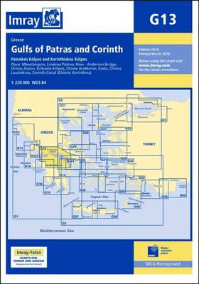
Imray Chart G13

by Imray

Published 1 June 2016
Plans included: Mesolongion (1:40 000) Limenas Patron (1:12 500) Rion - Andirrion Bridge (1:30 000) Ormos Aiyiou (1:15 000) Krissaios Kolpos (1:50 000) Ormos Andikiron (1:50 000) Kiato (1:10 000) Ormos Loutrakiou (1:20 000) Corinth Canal (Dhiorix Korinthou) (1:25 000) For this 2016 edition the latest depth surveys and firing practice areas are included. Completed harbour works at Patras, Kiato and Loutraki are shown.


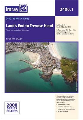
Imray Chart 2400.1

by Imray

Published 19 October 2015
Plans included: Plans: Newquay Bay Saint Ives

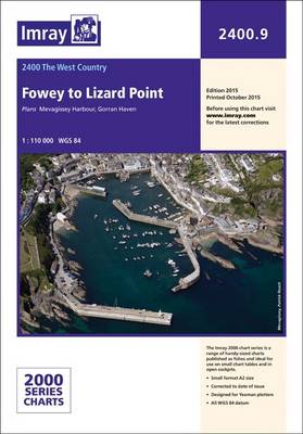
Imray Chart 2400.9

by Imray

Published 19 October 2015

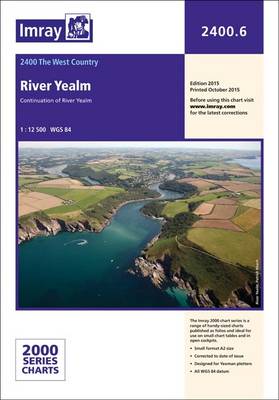
Imray Chart 2400.6

by Imray

Published 19 October 2015

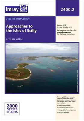
Imray Chart 2400.2

by Imray

Published 19 October 2015

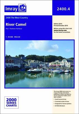
Imray Chart 2400.4

by Imray

Published 19 October 2015

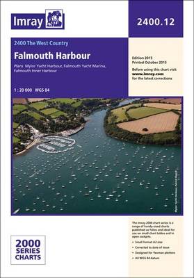
Imray Chart 2400.12

by Imray

Published 19 October 2015
Plans: Mylor Yacht Harbour Falmouth Yacht Marina Falmouth Inner Harbour This chart can also be purchased as part of the 2400 Chart Pack (16 Charts in total)

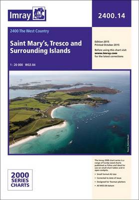
Imray Chart 2400.14

by Imray

Published 19 October 2015

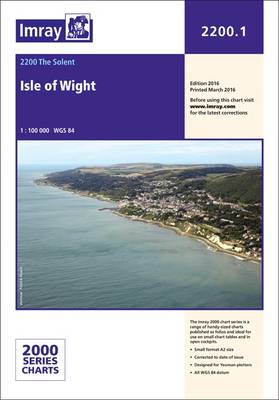
Imray Chart Pack 2200 the Solent

by Imray

Published 1 April 2016
10 sheets 2200.1 Isle of Wight 1:100,000 2200.2 Christchurch to the Solent 1:60,000 2200.3 Eastern Approaches to the Solent 1:60,000 2200.4 Chichester and Langstone Harbours 1:35,000 2200.5 Portsmouth Harbour and Approaches 1:22,500 2200.6 Central Solent 1:35,000 2200.7 Southampton Water 1:35,000 2200.8 West Solent 1:35,000 2200.9 Isle of Wight and Solent Plans (various scales) 2200.10 Rivers and Marinas in Southampton Water (various scales) In this new April 2013 edition of 2200 all the sheets in the folio now share the same edition date. Individual sheets from this pack are also available separately, folded to A4 and supplied in a plastic wallet. The 2016 edition is printed on high quality cartridge paper, but individual sheets are also available in waterproof lamination. This option is ideal for dinghy, work boat and RIB users who have need a tough chart presentation.

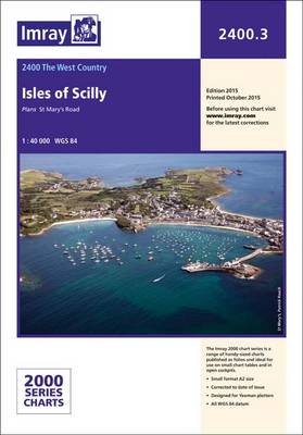
Imray Chart 2400.3

by Imray

Published 19 October 2015

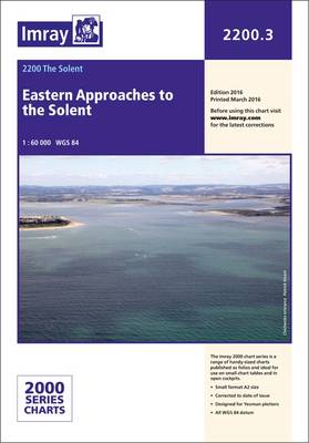
Imray Chart 2200.3

by Imray

Published 1 April 2016

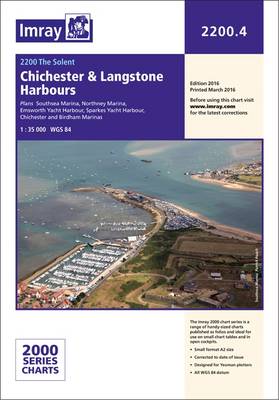
Imray Chart 2200.4

by Imray

Published 1 April 2016
Plans include: Southsea Marina Northney Marina Emsworth Yacht Harbour Sparkes Yacht Harbour Chichester and Birdham Marinas Includes latest depth surveys in Chichester and Langstone harbour entrances.

Imray Chart Pack 2510

by Imray

Published 1 June 2015
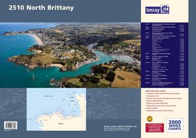
A brand new pack for North Brittanty, consisting of 7 double-sided sheets covering the coast from St-Malo to Rade de Brest. The pack consists of the following: 1. The Channel Islands, Cherbourg Peninsula & North Brittany (1:550 000) 2. Approaches to St-Malo & St-Cast (1:120 000) 3. Cap Frehel to Paimpol (1:110 000) 3A. Rade de Portrieux (1:50 000), 3B. Chenal d'Erquy (1:50 000) 4. Roches Douvres to Riviere de Treguier & St-Quay-Portrieux (1:110 000) 5. Approaches to Riviere de Trieux & Paimpol (1:50 000) 6. Plans - St-Malo to Lezardrieux A. St-Malo Approaches (1:55 000), B. St-Malo (1:17 500), C. St-Cast-Le-Guildo (1:20 000), D. Erquy (1:20 000), E. Dahouet (1:10 000), F. Port du Legue (1:20 000), G. Binic (1:12 500), H. St-Quay-Portrieux (1:25 000), I. Paimpol (1:15 000), J. Port de la Corderie (Ile de Brehat) (1:15 000), K. Port Clos (Ile de Brehat) (1:10 000), L. Lezardrieux (1:15 000) 7. Approaches to Riviere de Treguier (1:35 000) 7A. Treguier (1:15 000) 8. Les Heux de Brehat to Primel (1:110 000) 9. Baie de Morlaix (1:50 000) 9A. Primel (1:15 000), 9B. Port de Morlaix ( 1:15 000) 10. Plans - Treguier to Ile de Batz A. Port-Blanc (1:25 000), B.
Anse de Perros (1:30 000), C. Ploumanac'h (1:10 000), D. Approaches to Trebeurden (1:35 000), E. Le Legeur (1:42 500), F. Canal de l'Ile de Batz to Roscoff (1:20 000) 11. Ile de Batz to Ile Vierge (1:75 000) 11A. Morgueriec (1:32 000), 11B. Port du Pontusval (1:25 000) 12. L'Aber Wrac'h to Argenton (1:40 000) 12A. Argenton (1:25 000) 13. Ile Vierge to Rade de Brest (1:100 000) 13A. L'Aber-Ildut (1:25 000), 13B. Port du Conquet (1:20 000) 14. Le Four to St Mathieu & Ile d'Oussant (1:80 000) 14A. Baie de Lampaul (Ouessant) (1:30 000), 14B. Baie du Stiff (Ouessant) (1:30 000)
Imray Chart 2300.1

by Imray

Published 1 December 2015
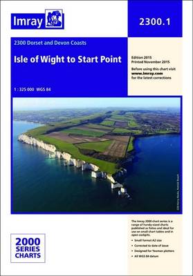
The Needles to Start Point including Poole Harbour A pack of 9 charts for the Dorset and Devon Coasts. The pack includes: 2300.1 Isle of Wight to Start Point 1:400,000 2300.2 Western Approaches to the Solent 1:60,000 2300.3 Poole Harbour to Bill of Portland 1:75,000 2300.4 Lyme Bay 1:175,000 2300.5 Poole Harbour 1:20,000 2300.6 River Exe 1:21,50 2300.7 Exmouth to Salcombe 1:100,000 2300.8 Teignmouth and Tor Bay 1:55,000 2300.9 River Dart 1:15,000

Imray Chart 2400.15

by Imray

Published 19 October 2015

Imray Chart 2400.5

by Imray

Published 19 October 2015

Imray Chart 2400.7

by Imray

Published 19 October 2015