C
4 primary works • 8 total works
Book 25
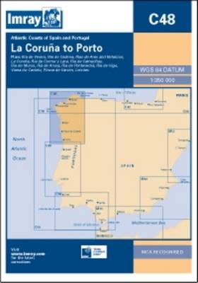
Book 48
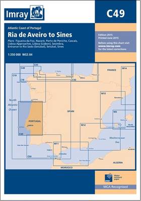
Book 49
Book 80

Coverage also extends further north to encompass the Faeroe Islands.
C68
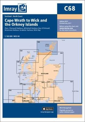
Pierowall Harbour (1:40 000)
Whitehall Harbour (1:25 000)
Bay of Kirkwall (1:12 500)
Stromness Harbour (1:12 500)
Scrabster Harbour (1:7500)
Wick Bay (1:10 000)
On this 2017 edition the latest depths have been applied where available. The chart specification has been improved to show coloured light flashes. There has been general updating throughout.
C4
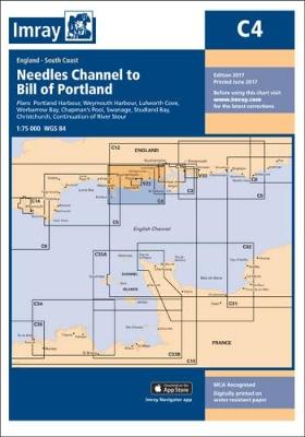
Plans included:
Portland Harbour (1:20 000)
Weymouth Harbour (1:7500)
Lulworth Cove (1:4500)
Worbarrow Bay (1:15 000)
Chapman's Pool (1:14 500)
Swanage (1:12 500)
Studland Bay (1:12 500)
Christchurch (1:20 000)
Continuation of River Stour (1:7500)
On this 2017 edition the latest depth surveys have been applied where available. A new plan of Chapman's Pool is now included on this chart. The chart specification has been improved to show coloured light flashes. There has been general updating throughout.