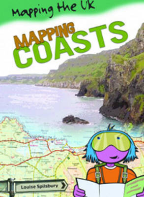
This series introduces pupils to maps and mapping skills and shows how to use and interpret maps in a progressive way, starting with simple maps and basic concepts, through to scales, grid references and national and global maps. Highly illustrated with a variety of different maps, photographs and diagrams. Includes mapping games and activities A valuable resource for both topic work and mapping
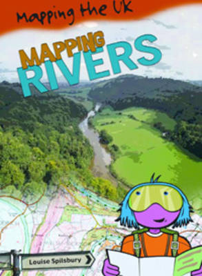
This series introduces pupils to maps and mapping skills and shows how to use and interpret maps in a progressive way, starting with simple maps and basic concepts, through to scales, grid references and national and global maps. Highly illustrated with a variety of different maps, photographs and diagrams. Includes mapping games and activities A valuable resource for both topic work and mapping
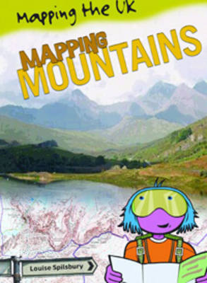
This series introduces pupils to maps and mapping skills and shows how to use and interpret maps in a progressive way, starting with simple maps and basic concepts, through to scales, grid references and national and global maps. Highly illustrated with a variety of different maps, photographs and diagrams. Includes mapping games and activities A valuable resource for both topic work and mapping
This series introduces pupils to maps and mapping skills and shows how to use and interpret maps in a progressive way, starting with simple maps and basic concepts, through to scales, grid references and national and global maps. Highly illustrated with a variety of different maps, photographs and diagrams. Includes mapping games and activities A valuable resource for both topic work and mapping
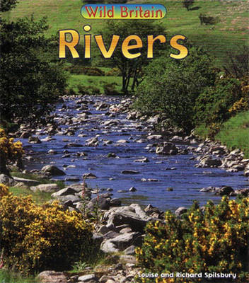
Written for children at primary school level this series examines habitats in the UK. For each habitat type a number of examples are used from various parts of the country. Each title has an introductory spread explaining what a habitat is and examines the changing seasons, environmental issues and why specific animals or plants are suited to the habitat. The lives of trout, water voles and kingfishers are explored here.
This series introduces pupils to maps and mapping skills and shows how to use and interpret maps in a progressive way, starting with simple maps and basic concepts, through to scales, grid references and national and global maps. Highly illustrated with a variety of different maps, photographs and diagrams. Includes mapping games and activities A valuable resource for both topic work and mapping
This series introduces pupils to maps and mapping skills and shows how to use and interpret maps in a progressive way, starting with simple maps and basic concepts, through to scales, grid references and national and global maps. Highly illustrated with a variety of different maps, photographs and diagrams. Includes mapping games and activities A valuable resource for both topic work and mapping
This series introduces pupils to maps and mapping skills and shows how to use and interpret maps in a progressive way, starting with simple maps and basic concepts, through to scales, grid references and national and global maps. Highly illustrated with a variety of different maps, photographs and diagrams. Includes mapping games and activities A valuable resource for both topic work and mapping
This series introduces pupils to maps and mapping skills and shows how to use and interpret maps in a progressive way, starting with simple maps and basic concepts, through to scales, grid references and national and global maps. Highly illustrated with a variety of different maps, photographs and diagrams. Includes mapping games and activities A valuable resource for both topic work and mapping
This series introduces pupils to maps and mapping skills and shows how to use and interpret maps in a progressive way, starting with simple maps and basic concepts, through to scales, grid references and national and global maps. Highly illustrated with a variety of different maps, photographs and diagrams. Includes mapping games and activities A valuable resource for both topic work and mapping