Student Atlas
2 total works
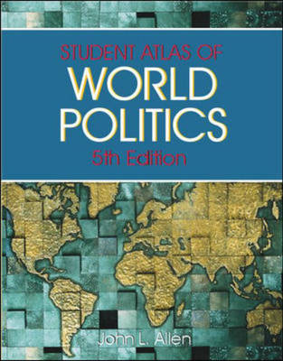
Atlas of World Politics is a low-cost, four-color atlas that allows readers to connect geography with world politics and current events. Reflecting political, economic, demographic, and environmental changes, its 62 maps include 15 new thematic maps discussing population density, nations with nuclear weapons, and more. A geographic index contains approximately 1,500 names and geographical coordinates of countries, cities, oceans, bays, and other geographic features.
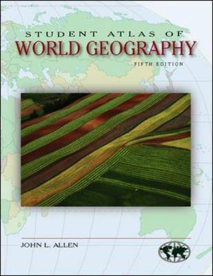
From McGraw-Hill "Contemporary Learning" series, the "Student Atlas" volumes combine full-color maps and data sets to introduce students to the importance of the connections between geography and other areas of study such as world politics, environmental issues, and economic development. These thematic atlases will give students a clear picture of the recent agricultural, industrial, demographic, environmental, economic, and political changes in every world region.

