Pathfinder Guides
2 primary works • 4 total works
Book 9
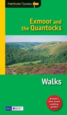
Exmoor National Park comprises 267 square miles, of which about two-thirds lie in west Somerset and the remaining third in north Devon. Its uniquely beautiful combination of moor and coast, woodland and valleys, hills and forest, and wildness and gentleness, makes it ideal for exploring on foot. The National Park's northern boundary is the Bristol Channel coast, stretching in a dramatic series of cliffs interrupted only by the Vale of Porlock, from North Hill above Minehead in the east to Little Hangman above Combe Martin in the west. This collection of walks ranges from the bare expanses of the Chains, the last real wilderness on Exmoor, to a picturesque riverside route along the Exe, from Badgworthy Water to a coastal walk taking in the spectacular Valley of Rocks.
Book 68
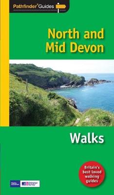
Are you planning a visit or holiday to North or Mid Devon? Do you enjoy a walk in the country or a leisurely afternoon stroll? Inside Pathfinder(R) Guide to North and Mid Devon are 28 fantastic country walks designed for walkers of all abilities. Ranging from 3 to 11 1/ 2 miles in length, each circular walk takes in some of the many delights of the North and Mid Devon countryside - known for its dramatic coastline, wide sandy bays and woodland that runs right to the cliff edge. Pathfinder(R) Guide to North and Mid Devon contains walks along the South West Coast Path between Foreland Point and Marsland Mouth as well as walks that offer the opportunity to visit some more unusual locations such as Lundy Island. Pathfinder(R) Guide to North and Mid Devon lets the walker enjoy some of the best walking destinations in the county, from the Two Moors Way and the Tarka Trail to the Exe Valley and the ever-popular Clovelly and the Valley of Rocks.
From the Hartland promontory and Heddon's Mouth to the calm tranquillity of Bideford Bay and Braunton Burrows, each walk in Pathfinder(R) Guide to North and Mid Devon is accompanied by clear, large-scale Ordnance Survey route maps and GPS waypoints to help you navigate your hike with ease. There is also a wealth of useful information accompanying each walk, including good pubs nearby, where to park before you start your walk and places of interest en route. Pathfinder(R) Guides are Britain's best loved walking guides. Made with durable covers, they are the perfect companion for countryside walks throughout Britain. Each title features circular walks with easy-to-follow route descriptions, tried and tested by seasoned walkers and accompanied by beautiful photography and clear Ordnance Survey mapping. The routes range from extended strolls to exhilarating hikes, so there is something for everyone
From the Hartland promontory and Heddon's Mouth to the calm tranquillity of Bideford Bay and Braunton Burrows, each walk in Pathfinder(R) Guide to North and Mid Devon is accompanied by clear, large-scale Ordnance Survey route maps and GPS waypoints to help you navigate your hike with ease. There is also a wealth of useful information accompanying each walk, including good pubs nearby, where to park before you start your walk and places of interest en route. Pathfinder(R) Guides are Britain's best loved walking guides. Made with durable covers, they are the perfect companion for countryside walks throughout Britain. Each title features circular walks with easy-to-follow route descriptions, tried and tested by seasoned walkers and accompanied by beautiful photography and clear Ordnance Survey mapping. The routes range from extended strolls to exhilarating hikes, so there is something for everyone
PF09
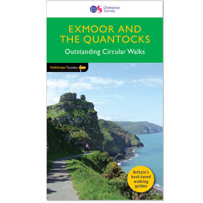
Exmoor National Park comprises 267 square miles, of which about two-thirds lie in west Somerset and the remaining third in north Devon. Its uniquely beautiful combination of moor and coast, woodland and valleys, hills and forest, and wildness and gentleness, makes it ideal for exploring on foot. The National Park's northern boundary is the Bristol Channel coast, stretching in a dramatic series of cliffs interrupted only by the Vale of Porlock, from North Hill above Minehead in the east to Little Hangman above Combe Martin in the west. This collection of walks ranges from the bare expanses of the Chains, the last real wilderness on Exmoor, to a picturesque riverside route along the Exe, from Badgworthy Water to a coastal walk taking in the spectacular Valley of Rocks.
PF01
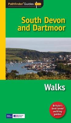
This collection of walks complements Pathfinder South Devon & Dartmoor, an area acclaimed as the last great wilderness in Britain. The haunting beauty of the central moorland studded with old tin mines and one of Britain's highest concentrations of historic remains is explored on several routes through the national park, including those passing Vixen Tor, one of the tallest and most distinctive granite tors on Dartmoor, Princetown and Buckfastleigh Moor. However, there are also explorations of the hills, river valleys and picturesque villages of the surrounding countryside the South Hams and south-east Devon, and especially the spectacular coastline.
Contents
1. Cockington Valley
2. Bench Tor
3. Gara Rock and Portlemouth Down
4. Stover Country Park and the River Teign
5. Vixen Tor and Pew Tor
6. Exe estuary and Exminster Marshes
7. The Yealm Estuary
8. Venn Ottery Common
9. Dart Estuary and Dartmouth Castle
10. Broadhembury 11. Loddiswell and the Avon Valley Woods
12. Ashburton and Whiddon Scrubs
13. Three Reservoirs Walk
14. Brixham and Churston Point
15. Prawle Point and Woodcombe Point
16. Otter Estuary, East Budleigh and Otterton
17. Kingston and the River Erme
18. Bolt Head and Salcombe Estuary
19. Start Point and Hallsands
20. Torcross, Slapton Ley and Stokenham
21. Beer and Branscombe
22. Rippon Tor, Pil Tor and Buckland Beacon
23. Widgery Cross and Great Links Tor
24. Yes Tor and High Willhays
25. Sidmouth, Salcombe Regis and Weston Combe
26. Princetown, Dartmoor Railway and Leather Tor
27. Dittisham, Cornworthy and Tuckenhay
28. Buckfastleigh Moor