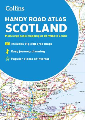
A handy road atlas to keep in your glove box. This easy-to-use, handy A5 sized road atlas is your ideal companion for travelling around Scotland. It has extremely clear, route planning maps of Scotland, detailed city plans of the major cities and towns and fits neatly into your glove box, briefcase or bag. Main features of this atlas include: Clear, attractive route planning maps of the whole of Scotland supported by comprehensive, fully indexed city centre street m...
Propulsion technology is a complex, multi-disciplinary and international subject on which a great deal of new work, both theoretical and empirical, has been reported over the past 30 years. This book is a state-of-the-art review that brings together and sets in context a great range of technical material on ships' propellers. The book comprises three main sections covering hydrodynamics; materials and mechanical considerations, and design, operation and performance. The discussion throughout rel...
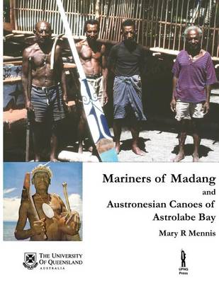
Mariners of Madang and Austronesian Canoes of Astrolabe Bay, Papua New Guinea
by Mary R Mennis
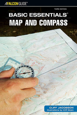
Map and Compass (Basic Essentials)
by Cliff Jacobson, Michael Hodgson, and William Forgey
A guide for those who want to fully enjoy travelling through rough country and wilderness in complete confidence and safety. It includes hints and tips on how to find your way, and what to do if you get lost.
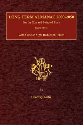
Long Term Almanac 2000-2050 for the Sun and Selected Stars
by Geoffrey Kolbe

A pilot book that covers the Atlantic and Coasts of Portugal and Spain.
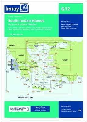
On this 2019 edition the chart specification has been improved to show coloured light flashes. The display of buoyage within the Levkas Canal has been improved. Submarine cables and firing practice areas have been updated. There has been general updating throughout.
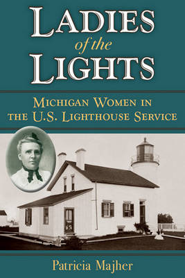
Ladies of the Lights
by Editor Michigan History Magazine Patricia Majher
Young Sea Officer's Sheet Anchor, The: Or a Key to the Leading of Rigging and to Practical Seamanship
by Darcy Lever
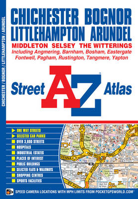
This A-Z map of Chichester, Bognor Regis, Littlehampton and Arundel is a full colour street atlas featuring 42 pages of mapping which extends to include:*Goodwood House*Slindon *Angmering *Angmering-on-Sea *Rustington *Middleton-on-Sea *Felpham *Pagham*Bosham*Fishbourne There is separate coverage of East Wittering, West Wittering and Selsey. Postcode districts, one-way streets and safety camera locations with their m...
This nautical medley combines wit and wisdom for present-day sailors, acquired over the author's lifetime. Serious advice blends with humorous anecdotes in essential bunk-side (or bedside) reading, both for sailors and for landlubbers.
GPS Quick Course 2nd Edition, Systems, Technology and Operation
by Ben Levitan and Lawrence Harte
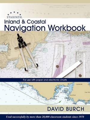
This Work Book provides over 100 exercises with answers covering all aspects of small-craft navigation on inland and coastal waters. These are practical problems that all navigators should know how to solve.
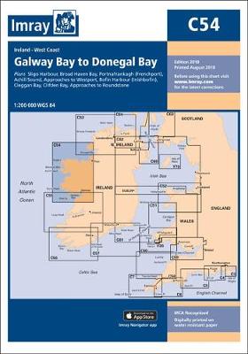
On this 2018 edition the chart specification has been improved to show coloured light flashes. Depths have been updated from the latest surveys where available. The inset plan of Broad Haven Bay has been extended east to include Ross Port. There has been general updating throughout.