'Visually stunning...it's gone straight to the top of my Christmas present list.' The Bookseller 'I remember how well I liked to turn the pages of my childhood atlas and travel the world to find out where countries and cities were. But there was never anything about why the maps were created - or who drew them. Theatre of the World was my big chance to tell the stories of all those men and women map makers whose amazing work deserves to be celebrated.' Thomas Reinertsen Berg Beautifully illust...
Geografia en red y tecnologia
by Jorge del Rio Sanjose and Gerson Beltran Lopez
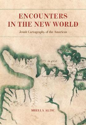
In 1540, in the wake of the tumult brought on by the Protestant Reformation, Saint Ignatius of Loyola founded the Society of Jesus, also known as the Jesuits. The Society’s goal was to revitalize the faith of Catholics and to evangelize to non-Catholics through charity, education, and missionary work. By the end of the century, Jesuit missionaries were sent all over the world, including to South America. In addition to performing missionary and humanitarian work, Jesuits also served as cartograp...
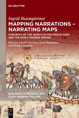
Mapping Narrations – Narrating Maps (Research in Medieval and Early Modern Culture)
by Ingrid Baumgartner
This volume offers the author’s central articles on the medieval and early modern history of cartography for the first time in English translation. A first group of essays gives an overview of medieval cartography and illustrates the methods of cartographers. Another analyzes world maps and travel accounts in relation to mapped spaces. A third examines land surveying, cartographical practices of exploration, and the production of Portolan atlases.
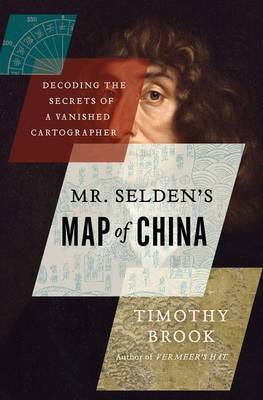
Mr. Selden's Map of China
by Associate Professor of History Timothy Brook
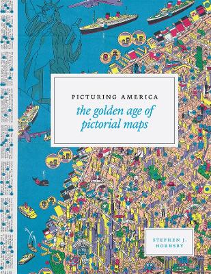
Instructive, amusing, colorful pictorial maps have been used and admired since the first medieval cartographer put pen to paper depicting mountains and trees across countries, people and objects around margins, and sea monsters in oceans. More recent generations of pictorial map artists have continued that traditional mixture of whimsy and fact, combining cartographic elements with text and images and featuring bold and arresting designs, bright and cheerful colors, and lively detail. In the Uni...
This publication provides a full and complete report of the Conference, which was held at the United Nations Headquarters, New York City, 22-26 January 2001. The conference fosters the exchange of ideas and information in cartography and geographical information. It also focuses on information and data exchange, training and scientific requirements with special attention to the development of spatial data infrastructure at all levels.
This important new book replaces the author's highly successful Practical Surveying and Computations and has been completely recast to accord with modern practices of geospatial surveying.Although much has changed in the profession of geospatial surveying, the same basic geometrical principles still apply - as does the need for instrumental calibration, its proper application, the suitable analysis of data and the presentation of results to users. Although the hands-on nature of day-to-day work...
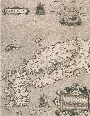
Miles of shelf space in contemporary Japanese bookstores and libraries are devoted to travel guides, walking maps, and topical atlases. Young Japanese children are taught how to properly map their classrooms and schoolgrounds. Elderly retirees pore over old castle plans and village cadasters. Pioneering surveyors are featured in popular television shows, and avid collectors covet exquisite scrolls depicting sea and land routes. Today, Japanese people are zealous producers and consumers of cartog...
A STUNNINGLY ILLUSTRATED BOOK REVEALING THE GREATEST MYTHS, LIES AND BLUNDERS ON MAPS 'Highly recommended' - Andrew Marr 'A spectacular, enjoyable and eye-opening read' - Jonathan Ross The Phantom Atlas is an atlas of the world not as it ever existed, but as it was thought to be. These marvellous and mysterious phantoms - non-existent islands, invented mountain ranges, mythical civilisations and other fictitious geography - were all at various times presented as facts on maps and atlases. Thi...
Topografia Cadastral e Georreferenciamento de Imoveis Rurais na Pratica (1, #1)
by Adenilson Giovanini
The only compendium of charts drawn by Lovstov, 18th-century Russian navigator and cartographer.
Combining the insights of designers, theorists, engineers and artists this book examines the cultural, aesthetic and political effects of mapping techniques on the fields of cultural production in art, science and architecture In recent years, new digital mapping techniques have begun to alter profoundly the ways in which we measure and represent space. In architecture, it is such techniques that have made possible such extraordinary structures as Frank Gehry's Guggenheim Museum, Bilbao. 3D scan...
Report of the British Columbia Hydrographic Survey for the Calendar Year 1916 [microform]
Index of Senate and House Bills and Resolutions and Memorials, Twenty-Sixth General Assembly of Colorado; 1927
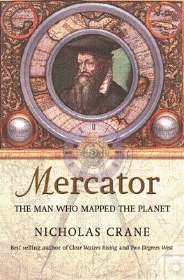
Gerard Mercator (1512-1594) was born at the dawn of the Age of Discovery, when the world was beginning to be discovered and carved up by navigators, geographers and cartographers. Mercator was the greatest and most ingenious cartographer of them all: it was he who coined the word 'atlas' and solved the riddle of converting the three-dimensional globe into a two-dimensional map while retaining true compass bearings. It is Mercator's Projection that NASA are using today to map Mars. How did Mercat...
Vincenzo Coronelli Cosmographer (1650-1718) (Terrarum Orbis, #13)
by Marica Milanesi


![Cover of Report of the British Columbia Hydrographic Survey for the Calendar Year 1916 [microform]](https://images.bookhype.com/covers/37/cc/94cbad94-3403-4244-8378-5a533c15cc73/9781013958588-04eb776a5b1b603781f34a.jpg)
