County Atlases of the British Isles Published After 1703
by Donald Hodson
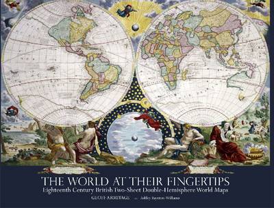
Between 1680 and 1807 British publishers produced a sequence of double-hemisphere world maps each printed on two sheets and conjoined. These maps are a peculiarly British phenomenon of this period and they provide a key indicator of the way the British map trade specifically targeted a newly prosperous and upwardly aspiring class of purchasers. The buyers were hungry for geographical information, but were also eager to acquire such maps for display, as a statement of their intellectual pursuits....
We do not see empty figures and outlines; we do not move in straight lines. Everywhere we are surrounded by dapple; the geometry of our embodied lives is curviform, meandering, bi-pedal. Our personal worlds are timed, inter-positional, and contingent. But nowhere in the language of cartography and design do these ordinary experiences appear. This, ""Dark Writing"" argues, is a serious omission because they are designs on the world: architects and colonizers use their lines to construct the place...
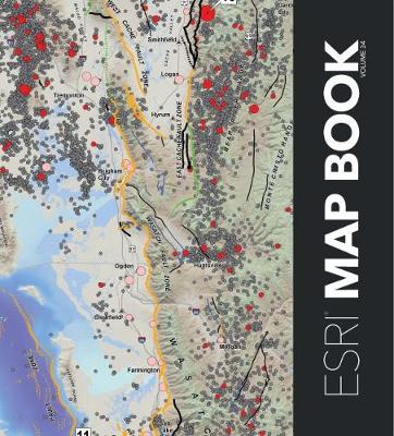
Esri Map Book Volume 34 (Esri Map Book)
Every year, works of mapmakers from around the world are selected for the Esri Map Book to demonstrate how geographic information system (GIS) technology helps our governments, businesses, and citizens.Esri Map Book, Volume 34 continues this tradition, showcasing maps and applications that use ArcGIS to evaluate the sustainability of resources, determine efficient transportation routes, mitigate the effects of natural disasters, and much more. Each map or application incudes a description of its...
Area Cartograms (Concepts & Techniques in Modern Geography, #59)
by Daniel Dorling
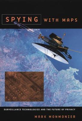
In Spying with Maps, the "mapmatician" Mark Monmonier looks at the increased use of geographic data, satellite imagery, and location tracking across a wide range of fields such as military intelligence, law enforcement, market research, and traffic engineering. Could these pervasive forms of geographic monitoring, he asks, lead to grave consequences for society? To assess this very real threat, he explains how geospatial technology works, what it can reveal, who uses it, and to what effect.
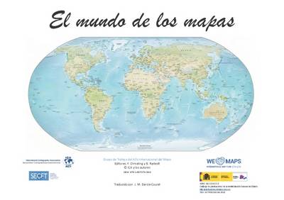
El Mundo de los Mapas
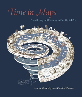
The new field of spatial history has been driven by digital mapping tools, which can readily show change over time in space. But long before this software was developed, mapmakers around the world represented time in sophisticated and nuanced ways in static maps that offer lessons for us today. In this collection, historians Karen Wigen and Caroline Winterer bring together leading scholars to consider how mapmakers depicted time. The essays show that time has often been a major component of what...
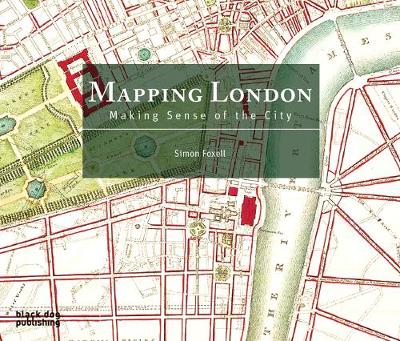
The book is a cartographic journey, charting the influence of Roman city planning, Saxon feudalism, Medieval tumult, imperial hubris, contemporary town planning and more on this great metropolis. It includes over 200 maps, from literary imaginings and utopian prophecies to portrayals of London in contemporary computer games, comics and online - as well as the timeless Monopoly board. The maps in this comprehensive survey are allowed to speak for themselves, revealing not only their political an...
Among the areas covered: health planning, portraying crime incidence information, principles of map design, highway congestion patterns. Companion to Volumes 3, 5, and 16.
Includes applications in city and regional planning, education, engineering, design, management information systems, and environmental, health, and social studies. Companion to Volumes 11 and 16.
Stresses methods and resources to use in such areas as water quality studies, use of Landsat in urban analysis and agricultural inventories, coal resources evaluation, and air pollution analysis. Companion to Volumes 10 and 15.
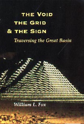
What Barry Lopez did in expanding our vision of the frozen North in Arctic Dreams, William Fox has done in broadening our perceptions of the desert expanses of the West's Great Basin.Roughly a quarter of a million acres of land spanning much of Utah and most of Nevada, the Great Basin is the highest and driest of the American deserts, a vast empty tract on the nineteenth-century maps of our continent. Explorers and cartographers found it imponderable; pioneers and settlers found it uninhabitable...
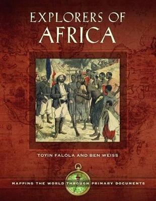
Explorers of Africa (Mapping the World through Primary Documents)
by Toyin Falola, Ben Weiss, and Jessica Achberger
Using the writings of prominent European explorers, this volume provides an exceptional introduction to the history of African exploration and the resulting European perspectives and beliefs. Offering a unique approach to the study of history, this book showcases the writings of more than a dozen explorers whose impressions of Africa during the "Age of Exploration" influenced not only their own generation, but generations to come. Well-known explorers such as David Livingstone, Richard Burton,...
Essai Sur l'Histoire de la Cosmographie Et de la Cartographie Pdt Le Moyen-Age. T 1 (Ed.1848-1852) (Histoire)
by de Santarem M F
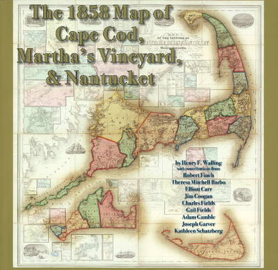
1858 Map of Cape Cod, Martha's Vineyard, and Nantucket
by Henry F. Walling
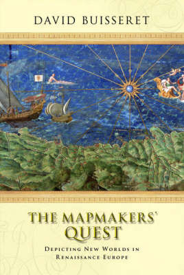
In 1400 Europe was behind large parts of the world in its understanding of the use of maps. For instance, the people gf China and of Japan were considerably more advanced in this respect. And yet, by 1600 the Europeans had come to use maps for a huge variety of tasks, and were far ahead of the rest of the world in their appreciation of the power and use of cartography. The Mapmakers' Quest seeks to understand this development - not only to tease out the strands of thought and practice which led...
Samuel de Champlain Before 1604: Des Sauvages and Other Documents Related to the Period
by Conrad Heidenreich and K Janet Ritch
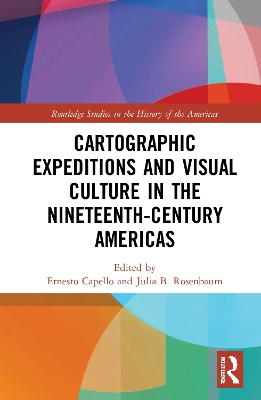
Cartographic Expeditions and Visual Culture in the Nineteenth-Century Americas
During the nineteenth century, gridding, graphing, and surveying proliferated as never before as nations and empires expanded into hitherto "unknown" territories. Though nominally geared toward justifying territorial claims and collecting scientific data, expeditions also produced vast troves of visual and artistic material. This book considers the explosion of expeditionary mapping and its links to visual culture across the Americas, arguing that acts of measurement are also aesthetic acts. Suc...
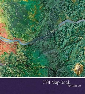
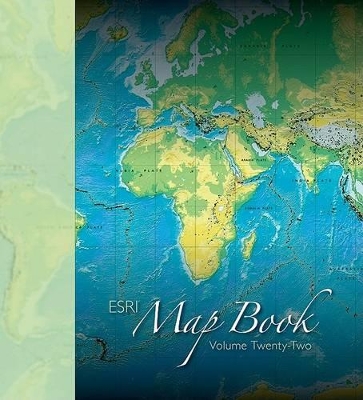
ESRI Map Book, Volume 22, showcases some of the most creative, interesting, and beautiful maps presented in the Map Gallery exhibition at the annual ESRI International User Conference. This book continues the tradition of featuring a collection of maps that demonstrate to readers the capability of GIS and how it is changing the world. ESRI Map Book, Volume 22 will appeal to a broad audience of users including industry professionals, cartographers, students, scholars, and others interested in map...

