Image Analysis, Classification and Change Detection in Remote Sensing
by Morton J. Canty
With an ever-increasing availability of aerial and satellite Earth observation data, image analysis has become an essential part of remote sensing. Image Analysis, Classification and Change Detection in Remote Sensing: With Algorithms for ENVI/IDL combines theory, algorithms, and computer codes and conveys required proficiency in vector algebra and basic statistics. It covers such topics as basic Fourier transforms, wavelets, principle components, minimum noise fraction transformation, and othor...
The global nature of atmospheric change makes satellite remote sensing a key tool in the investigation of these processes. Reflecting its importance, this book provides a comprehensive resource on remote sensing of the Earth's atmosphere. It begins with a review of the properties and behavior of the Earth's atmosphere, then discusses retrieval theory, including applications, and remote sounding. Each chapter contains problems as exercises to test reader comprehension. By providing a single volum...
Soft computing is a new, emerging discipline rooted in a group of technologies - such as knowledge-based systems, neural networks, fuzzy set theory, probabilistic and evidential approaches, and genetic algorithms - that have the common characteristic of mimicking the remarkable human ability to make decisions in an environment of uncertainty and imprecision.Encouraged by the growing interest in soft computing and by the scientific efforts already undertaken within the remote sensing community, t...
Sea Ice Image Processing with Matlab(r) (Signal and Image Processing of Earth Observations)
by Qin Zhang and Roger Skjetne
First Published in 1990. Routledge is an imprint of Taylor & Francis, an informa company.
QGIS and Applications in Water and Risks
Our four volumes propose to present innovative thematic applications implemented using the open source software QGIS. These are applications that use remote sensing over continental surfaces. The four volumes detail applications of remote sensing over continental surfaces, with a first one discussing applications for agriculture. A second one presents applications for forest, a third presents applications for the continental hydrology, and finally the last volume details applications for environ...
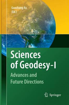
Sciences of Geodesy - I
This series of reference books describes sciences of different elds in and around geodesy with independent chapters. Each chapter covers an individual eld and describes the history, theory, objective, technology, development, highlights of research and applications. In addition, problems as well as future directions are discussed. The subjects of this reference book include Absolute and Relative Gravimetry, Adaptively Robust Kalman Filters with Applications in Navigation, Airborne Gravity Field...
Zhongguo Yao Gan Ji Shu XI Tong Di Ruan Ke Xue Yan Jiu
by Shouyong Yan
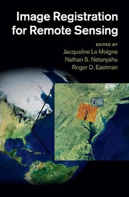
Image Registration for Remote Sensing
Image registration employs digital image processing in order to bring two or more digital images into precise alignment for analysis and comparison. Accurate registration algorithms are essential for creating mosaics of satellite images and tracking changes on the planet's surface over time. Bringing together invited contributions from thirty-six distinguished researchers, the book presents a detailed overview of current research and practice in the application of image registration to remote se...
Classics from IJGIS
The past 20 years can be regarded as the adolescence of geographic information science (GIS), as it grew from a burgeoning area of study into a mature and thriving field. During those two decades, the International Journal of Geographic Information Science (formerly Systems) (IJGIS) was one of the most prominent academic guiding forces in GIScience, and looks to remain so for the foreseeable future. To celebrate this important milestone, Peter Fisher-the second editor of IJGIS-has compiled 19 of...
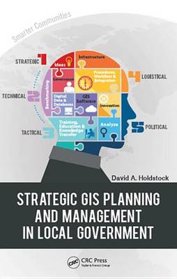
Strategic GIS Planning and Management in Local Government
by David A. Holdstock
This "how-to" book on planning and managing GIS within local government describes and details the key components of a successful enterprise, sustainable and enduring GIS. It describes the strategic planning process an organization must undertake prior to GIS implementation. The heart of the book is the formula for success that offers a systematic methodology for examining and benchmarking a GIS initiative and the practical and repeatable strategy for success. There are many obstacles to success...
Encyclopedia of Geodesy (Encyclopedia of Earth Sciences)
The past few decades have witnessed the explosive growth of Earth Sciences in the pursuit of knowledge and understanding the planet Earth. Such a development addresses the challenging endeavour to enrich human lives with bounding Nature as well as to preserve the Planet Earth, the Moon, the other planets, in total the Cosmos, for generations to come. Geodetic Sciences aspires to define and quantify the internal structure, the surface structure, the Oceans and the Atmosphere as well as the exteri...
Forest Properties and Carbon Cycle Studies from Earth Observations (Space Sciences Series of ISSI, #71)
This book features a comprehensive series of the overview articles on all relevant aspects of forest structure estimation from space and related fields. The overview articles in this book discuss the importance of the derived products for earth system science and policy, the latest earth observation system and techniques, aspects of ground data collection for contextualisation and validation and the consistent generation of estimates from multiple data stream.Previously published in Surveys in G...
Geographical Design (Synthesis Lectures on Human-Centered Informatics)
by Stephen C. Hirtle
With spatial technologies ranging from mapping software to the use of location-based services, spatial knowledge is often acquired and communicated through geographic information technologies. This book describes the interplay between spatial cognition research and use of spatial interfaces. It begins by reviewing what is known about how humans process spatial concepts and then moves on to discuss how interfaces can be improved to take advantage of those capabilities by disambiguating cognitive...
Research Agenda for Geographic Information Science
by Robert B McMaster
A close relationship exists between GIS and numerous applications, including cartography, photogrammetry, geodesy, surveying, computer and information science, and statistics, among others. Scientists coined the term "geographic information science (GIScience)" to describe the theory behind these fields. A Research Agenda for Geographic Information Science extensively details the issues and fundamental scientific problems that must be solved if the use of GIS in these and other fields is to adva...
Introduction to Microwave Remote Sensing offers an extensive overview of this versatile and extremely precise technology for technically oriented undergraduates and graduate students. This textbook emphasizes an important shift in conceptualization and directs it toward students with prior knowledge of optical remote sensing: the author dispels any linkage between microwave and optical remote sensing. Instead, he constructs the concept of microwave remote sensing by comparing it to the process...
The Climate System
These results from the National Research Programme on Climate Change of the Netherlands offer a synthesis of present knowledge in the fields of: source and sinks of greenhouse gases and aerosols; land-atmosphere interactions; the global energy balance; and radiative forcing and climate variability.
Theory of Reflectance and Emittance Spectroscopy (Topics in Remote Sensing)
by Bruce Hapke
Reflectance and emittance spectroscopy are increasingly important tools in remote sensing and have been employed in most recent planetary spacecraft missions. They are primarily used to measure properties of disordered materials, especially in the interpretation of remote observations of the surfaces of the Earth and other terrestrial planets. This book gives a quantitative treatment of the physics of the interaction of electromagnetic radiation with particulate media, such as powders and soils....
Proceedings of SPIE present the original research papers presented at SPIE conferences and other high-quality conferences in the broad-ranging fields of optics and photonics. These books provide prompt access to the latest innovations in research and technology in their respective fields. Proceedings of SPIE are among the most cited references in patent literature.
