Global Land Surface Satellite (Glass) Products (SpringerBriefs in Earth Sciences)
by Shunlin Liang, Xiaotong Zhang, and Zhiqiang Xiao
This book describes the algorithms, validation and preliminary analysis of the Global LAnd Surface Satellite (GLASS) products, a long-term, high-quality dataset that is now freely available worldwide to government organizations and agencies, scientific research institutions, students and members of the general public.The GLASS products include leaf area index, broadband albedo, broadband emissivity, downward shortwave radiation and photosynthetically active radiation. The first three GLASS produ...
This book presents practical information about hemispherical photography from the perspectives of field data acquisition, image processing and information retrieval methods. This book is organized into three sections. The first section describes what is hemispherical photography and what are the fundamental elements of forest structure and light interactions within the forest canopy. The second section provides practical information about the equipment, procedures and tools for procuring, proc...
Mathematics of Remote Sensing (IMA conference, #21)
Remote sensing is concerned with the generation of data and extraction of information from satellite observation devices. This volume, based on a conference on the subject, provides an up-to-date survey of the mathematical techniques available for this purpose. The volume is based on the proceedings of a conference on mathematics and its applications in remote sensing, held at Danbury, Essex in May 1986. Its primary appeal will be to specialists in remote sensing working on a broad range of elec...
Computing in Civil Engineering and Geographic Information Systems Symposium
Integrating Photogrammetric Techniques With Scene Analysis and Machine Vision-19-21 April 1995 Orlando Florida
by Dowman
Understanding GIS (Understanding Gis, #4)
by Christian Harder, Tim Ormsby, and Thomas Balstrom
Understanding GIS: An ArcGIS Project Workbook explains the methods and tools needed to apply GIS analysis to a spatial problem by finding the best location for a new park along the Los Angeles River in Southern California. Through this process, readers develop critical-thinking and problem-solving skills and learn to use ArcGIS (R) 10.1 for Desktop software from Esri (R). Understanding GIS: An ArcGIS Project Workbook includes valuable learning materials:Self-paced tutorials. The project is car...
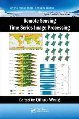
Remote Sensing Time Series Image Processing (Imaging Science)
Today, remote sensing technology is an essential tool for understanding the Earth and managing human-Earth interactions. There is a rapidly growing need for remote sensing and Earth observation technology that enables monitoring of world’s natural resources and environments, managing exposure to natural and man-made risks and more frequently occurring disasters, and helping the sustainability and productivity of natural and human ecosystems. The improvement in temporal resolution/revisit allows...
Handbook of Himalayan Ecosystems and Sustainability, Volume 2
Volume 2: Handbook on Spatio-Temporal Monitoring of Water Resources and Climate is aimed to describe the current state of knowledge and developments of geospatial technologies (Remote Sensing and GIS) for assessing and managing water resources under climate change. It is a collective achievement of renowned researchers and academicians working in the Hindu Kush Himalayan (HKH) mountain range. The HKH region is a part of the Third Pole outside the Polar Regions due to its largest permanent snow c...
DSP for MATLAB™ and LabVIEW™ IV (Synthesis Lectures on Signal Processing)
by Forester W Isen
This book is Volume IV of the series DSP for MATLAB™ and LabVIEW™. Volume IV is an introductory treatment of LMS Adaptive Filtering and applications, and covers cost functions, performance surfaces, coefficient perturbation to estimate the gradient, the LMS algorithm, response of the LMS algorithm to narrow-band signals, and various topologies such as ANC (Active Noise Cancelling) or system modeling, Noise Cancellation, Interference Cancellation, Echo Cancellation (with single- and dual-H topolo...
The Global Positioning System and Geographical Information Systems, working in tandem, provide a powerful tool. Recent developments such as the removal of Selective Availability have not merely made these technologies more accurate but have also opened up a new seam of applications, particularly in location based services. The Global Positioning System and GIS is a clear text and guide to the use and integration of these powerful technologies, with each topic combining an overview with a step-by...
Information Technologies for Remote Monitoring of the Environment (Springer Praxis Books)
by Vladimir Krapivin and Anatolij M. Shutko
The key novelty of this book is first of all in the successful attempt to conduct jointly modeling of environment in terms of physical environment related parameters and measuring similar parameters by means of multispectral remote sensing, primarily by means of passive microwave remote sensing technology. Another new step is in the development and utilization of a multilevel approach which includes remote sensing of the land and water parameters like soil moisture, depth to water table, biomass...
Processing of Remote Sensing Data
by Colette M. Girard and Michel-Claude Girard
Containing useful information sources for the management of natural resources, this comprehensive text covers a large range of spatial resolutions and spectral characteristics. The book deals with the data sources and their physical interpretation, as well as processing techniques, such as visual interpretation and automated classifications, textural and structural processing and photogrammetry. There is a section on accuracy assessment and various applications relating to crops, grasslands, soi...
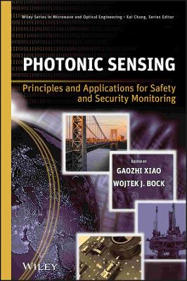
A cutting-edge look at safety and security applications of photonic sensors With its many superior qualities, photonic sensing technology is increasingly used in early-detection and early-warning systems for biological hazards, structural flaws, and security threats. Photonic Sensing provides for the first time a comprehensive review of this exciting and rapidly evolving field, focusing on the development of cutting-edge applications in diverse areas of safety and security, from biodetection to...
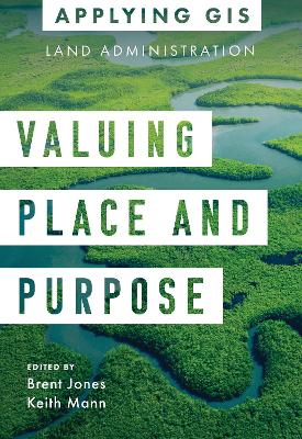
Modern land administration applies geospatial thinking to better understand and plan the proper use, conservation, and equitable use of land and property. Location intelligence is changing the way land administration works to protect and maintain appropriate land use and achieve better economic, environmental, and social benefits. The real-life stories in Valuing Place and Purpose: GIS for Land Administration show how communities, government agencies, nonprofits, and other organizations implemen...
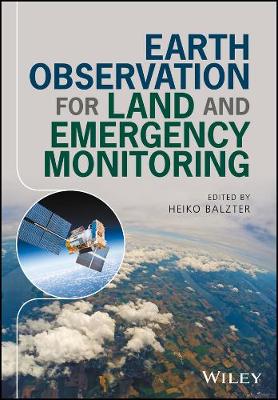
Earth Observation for Land and Emergency Monitoring
Earth Observation Science (EOS) is the study of the global Earth land-ocean-atmosphere system through observations. The principal tools for such studies are measurements from space since these provide the coverage of the planet that is necessary to capture the behaviour of the entire coupled system. In addition, surface observations, and measurements from aircraft, balloons and sounding rockets provide valuable contributors to what are now termed "integrated, global observing systems." Coupled w...
This book proceedings collects a number of papers presented at the International Conference on Sensing and Imaging, which was held at Guangxi University of Science and Technology from October 15-18, 2018. Sensing and imaging is an interdisciplinary field covering a variety of sciences and techniques such as optics, electricity, magnetism, heat, sound, and computing technologies. The field has diverse applications of interest such as image processing techniques.The results in the book bridge the...
